Arthur's Pass is two things with one name. The pass is a 920 m saddle on the main divide of the Southern Alps, the highest of the three road passes across them, carrying State Highway 73 and the Midland railway line between Canterbury and the West Coast. The village, a few kilometres east of the summit at 740 m, is a cluster of old railway cottages, a visitor centre, a couple of places to stay and eat, and about 30 permanent residents, 153 km from Christchurch. Around both is Arthur's Pass National Park, founded in 1929 as New Zealand's third.
Most visitors see it through a window, from the TranzAlpine or on the drive across. Our itineraries that go through Arthur's Pass are all self drive, and there are 16 of them, every one stopping the night. 6 give it one night and 7 give it two, which we think is right: long enough to walk, short enough not to run out of things to do in a village this size. A few are winter ski packages that use it alongside Methven for the Canterbury ski fields.
- From Christchurch
- 153 km, about 2 h
- From Greymouth
- 95 km, about 1 h 30
- From Franz Josef
- 235 km, about 3 h
- Nearest airports
- Hokitika (HKK), about 1 h 30 by road, Christchurch (CHC), about 2 h by road
Where Arthur's Pass is and how it got its name
The pass is on the watershed between the Waimakariri River, which runs east across the Canterbury Plains, and the Ōtira, which drops west towards Greymouth. In 1864 Canterbury's chief surveyor, Thomas Cass, sent the young surveyor Arthur Dudley Dobson to find a way over the Alps to the new West Coast goldfields. Māori had long known the route, and the pass took Dobson's name. A coach road was built over it in about ten months and opened in March 1866.
The railway was harder. It reached the village in 1914, but the 8.55 km Otira Tunnel under the pass did not open until 1923, and it is still how the TranzAlpine crosses the divide. Arthur's Pass station, at 737 m, is one of the highest working railway stations in the country. The road on the western side stayed a narrow, slip-prone zigzag until the Otira Viaduct, a 440 m concrete span over the worst of the unstable ground, was finished in 1999.
Walking tracks around Arthur's Pass
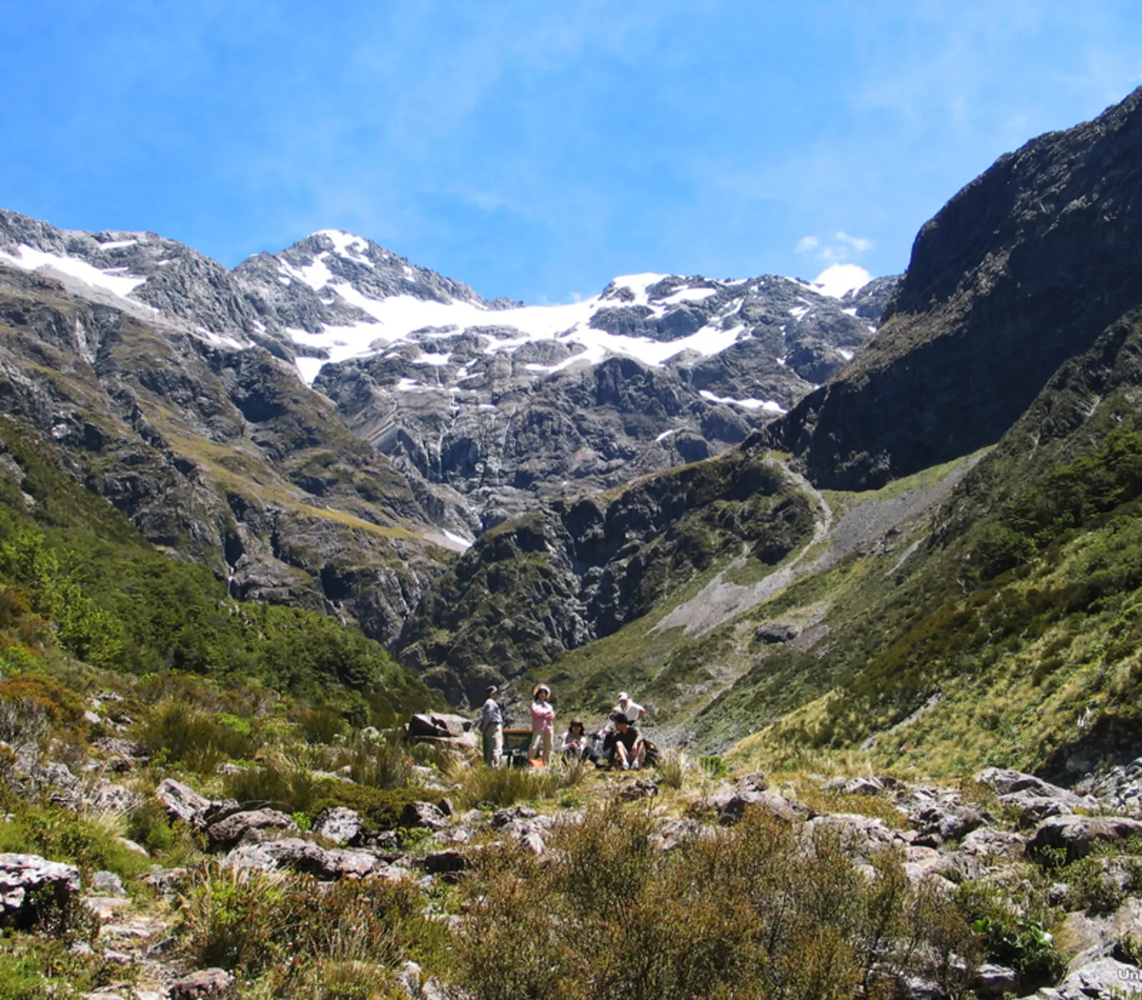
The walking is the reason to stop, and the best of it starts in the village. 9 of our itineraries set aside time for the tracks, and they are well spent. Most walks are in mountain beech forest, which is open and easy to walk through, and climb quickly to views of the peaks.
- Devils Punchbowl: the one everyone does. About an hour return from a car park at the north end of the village, over the Bealey River and up steps through beech forest to a platform near the foot of a 131 m waterfall. You will get wet from the spray. Best after rain or in spring snowmelt.
- Bridal Veil Falls: a gentler forest walk from the same area to a lookout over another long fall on the far side of the valley. Combine it with the Punchbowl for a half day.
- Arthur's Pass Walking Track: climbs the valley from the village towards the summit, partly on the line of the old coach road, a few hours return, with alpine plants and tarns near the top of the pass.
- Avalanche Peak: the big day walk. A steep climb of more than 1,100 m from the village to a 1,833 m summit, with a view across the glaciers of Mount Rolleston. It is a serious route above the bushline, for fit walkers with a good forecast, and not one to attempt in winter without alpine experience.
- Castle Hill, Kura Tawhiti: about 45 minutes east on the Christchurch side, a field of grey limestone boulders on a tussock hillside, and an easy walk among them. Cave Stream nearby lets you wade through a limestone cave, in cold water to the waist with a torch, when the stream is low.
Is Arthur's Pass scary to drive?
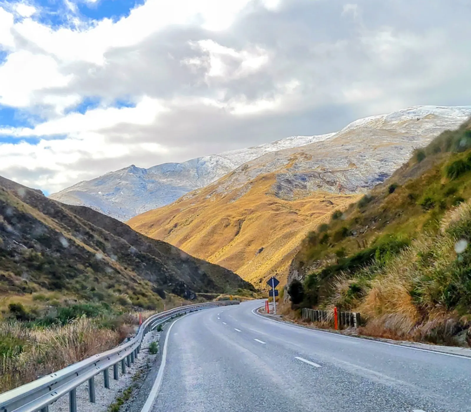
Not in summer and not from the east, where the road climbs gradually up the Waimakariri valley on wide, sealed highway past Castle Hill and Lake Pearson. The western side is another matter. From the summit the road drops steeply through the Ōtira Gorge, with tight bends, a rock shelter over the road, and the viaduct, down to the old railway settlement of Otira. It is well engineered and perfectly driveable, but it is steep and slow, and large campervans need low gear on the way down. Stop at the viaduct lookout on the western side for the view back up the gorge; the kea that wait there will try to take your wipers apart, so keep an eye on them and do not feed them.
In winter the pass gets snow and ice, chains should be carried, and it closes some days after heavy snow or slips. Check the NZ Transport Agency journey planner the morning you cross, and fill up before you leave Christchurch or the coast, because there is little fuel on the way.
| From | Distance | Driving time | Notes |
|---|---|---|---|
| Christchurch | 153 km | About 2 h | Via Springfield and Castle Hill; the easy side |
| Greymouth | About 95 km | About 1 h 30 | Up the Ōtira Gorge and over the viaduct; the steep side |
| Punakaiki | About 140 km | About 2 h | Via Greymouth; 5 of our itineraries arrive from there |
| Franz Josef | About 235 km | About 3 h | Via Hokitika; the way 5 of our itineraries come |
The TranzAlpine train and Arthur's Pass
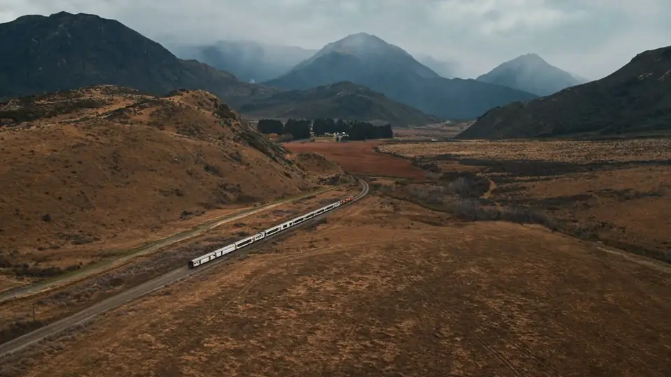
The TranzAlpine runs between Christchurch and Greymouth, and Arthur's Pass is its highest station. Most passengers ride straight through; the scenery east of the village, along the Waimakariri gorge and across the high tussock basins, is the best part of the trip. You can also get off here, spend a night or two walking, and pick up a later train onward, which turns a long day on the train into a much better trip. If you are driving, the road and the railway follow each other much of the way, and on the right morning you will see the train crossing the valley floor.
How long to stay and where to sleep
Driving across without stopping takes a little over three hours from Christchurch to Greymouth, and it is a waste of the park. A lunch stop gets you the Punchbowl. A night lets you walk in the morning before the day visitors arrive and see the peaks at dusk, and two nights gets you Avalanche Peak or the pass itself as well. Of our itineraries, 7 carry on to Kaikōura next and 6 to Christchurch, so they are usually approaching from the coast and crossing to the east.
Beds are few, simple and book out in summer. The Arthurs Pass Alpine Motel, in the village, takes 10 of our itineraries. Wilderness Lodge Arthur's Pass, east of the village in the Waimakariri high country, takes 5, and is the one to choose if you want a lodge with guided nature walks rather than a motel. The Bealey Hotel, further down the valley, takes 1. The village also has a hostel and some holiday houses. Supplies are limited, so bring what you need. Tours through Arthur's Pass start from NZ$3,445.
Weather, snow and the best time to go
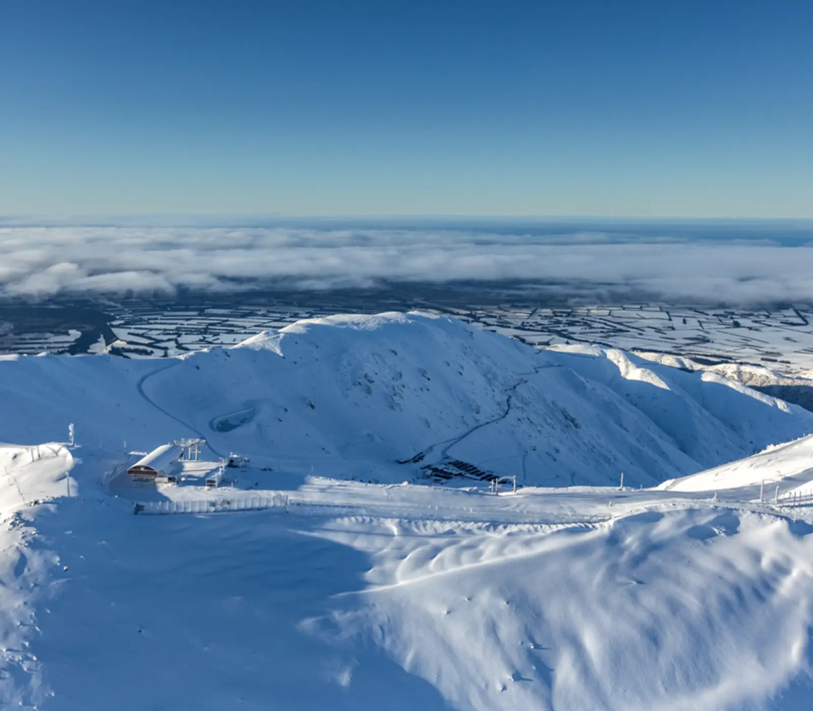
The village gets around 4,660 mm of rain a year, most of it from the westerlies that pile up on the main divide, and the weather on the Canterbury side a few kilometres east is often clearer. It snows in winter and can snow on the tops in any month. Summer and early autumn are best for walking, with long days and the most settled weather. Spring is wet and the waterfalls are at their fullest. Winter brings snow down to the village, and the small club ski field at Temple Basin just above the pass; 4 of our itineraries also include skiing at Porters, on the Christchurch side, and 4 at Mt Hutt, which is reached from Methven rather than from here. Wherever you go, pack for rain and cold even in January.
What the itineraries do in Arthur's Pass
16 of our itineraries reach Arthur's Pass and 16 sleep there: 6 for 1 night, 7 for 2 nights, 2 for 3 nights, 1 for 4 nights. Counted from the day by day of every tour, so the numbers move with the catalogue.
- Walking tracks in Arthurs Pass National Park on 9 itineraries
- Mt Hutt Ski Field on 4 itineraries
- Porters Alpine Resort on 4 itineraries
- Arthur’s Pass National Park on 3 itineraries
- Air New Zealand flight Wellington to Christchurch on 2 itineraries
- Ocean’s Cabin with Whale Watch Kaikōura on 1 itinerary
Where they stay: Arthurs Pass Alpine Motel (10), Wilderness Lodge, Arthurs Pass (5), Abisko Lodge Methven (2), Bealey Hotel and Motel Arthurs Pass (1), Brinkley Resort Methven (1). Every property is named on its tour page, with the room grade.
Most arrive from Franz Josef (5), Punakaiki (5), Christchurch (2) and carry on to Kaikōura (7), Christchurch (6), Franz Josef (2).