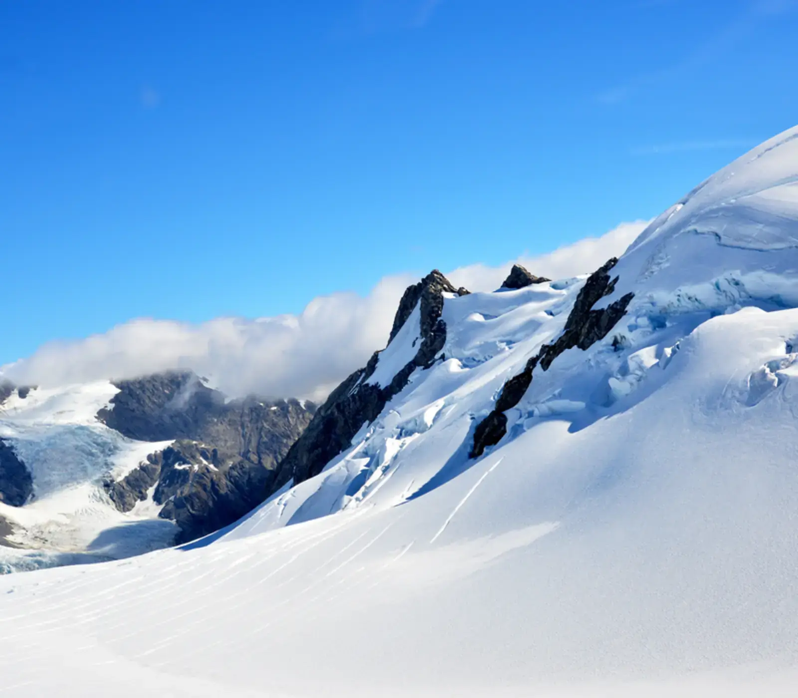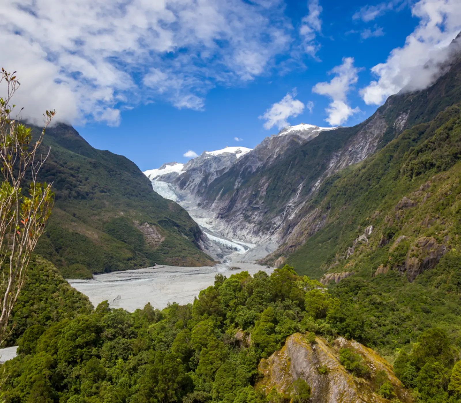
Franz Josef Glacier is a 12 km river of ice that comes down off the Southern Alps to under 300 m above sea level, low enough that its snout sits in temperate rainforest. It is in Westland Tai Poutini National Park, inside the Te Wāhipounamu World Heritage Area, and its face is 5 km from the village of Franz Josef / Waiau, which had 363 residents at the 2023 census. Julius von Haast named it in 1865 after the Austrian emperor; the Māori name, Kā Roimata o Hine Hukatere, means the tears of Hine Hukatere, frozen on the mountain after her lover died in an avalanche. One thing to know before you go: since the terminal face collapsed in March 2012, nobody has walked onto the ice from the valley floor. You fly, or you look from a distance.
Of the itineraries we sell, 235 come through Franz Josef and 229 sleep here: 113 for one night, 116 for two. More arrive from Queenstown over the Haast Pass than from anywhere else (136 of them), and 132 leave for Christchurch, most of those by way of Greymouth and the TranzAlpine. The Helicopter Line's Twin Glacier flight is on 92, the heli hike on 42. Below is what we tell people before they choose between the three ways of seeing the ice.
- From Queenstown
- 351 km, about 4 h 40
- From Greymouth
- 173 km, about 2 h 15
- From Hokitika
- 135 km, about 1 h 45
- From Christchurch
- 382 km, about 5 h
- Nearest airports
- Hokitika (HKK), 1 h 45 by road, Air New Zealand from Christchurch, Queenstown (ZQN), 4 h 40 by road, Christchurch (CHC), 5 h by road, or the TranzAlpine to Greymouth then 2 h 15
Where it is, and what has happened to the ice
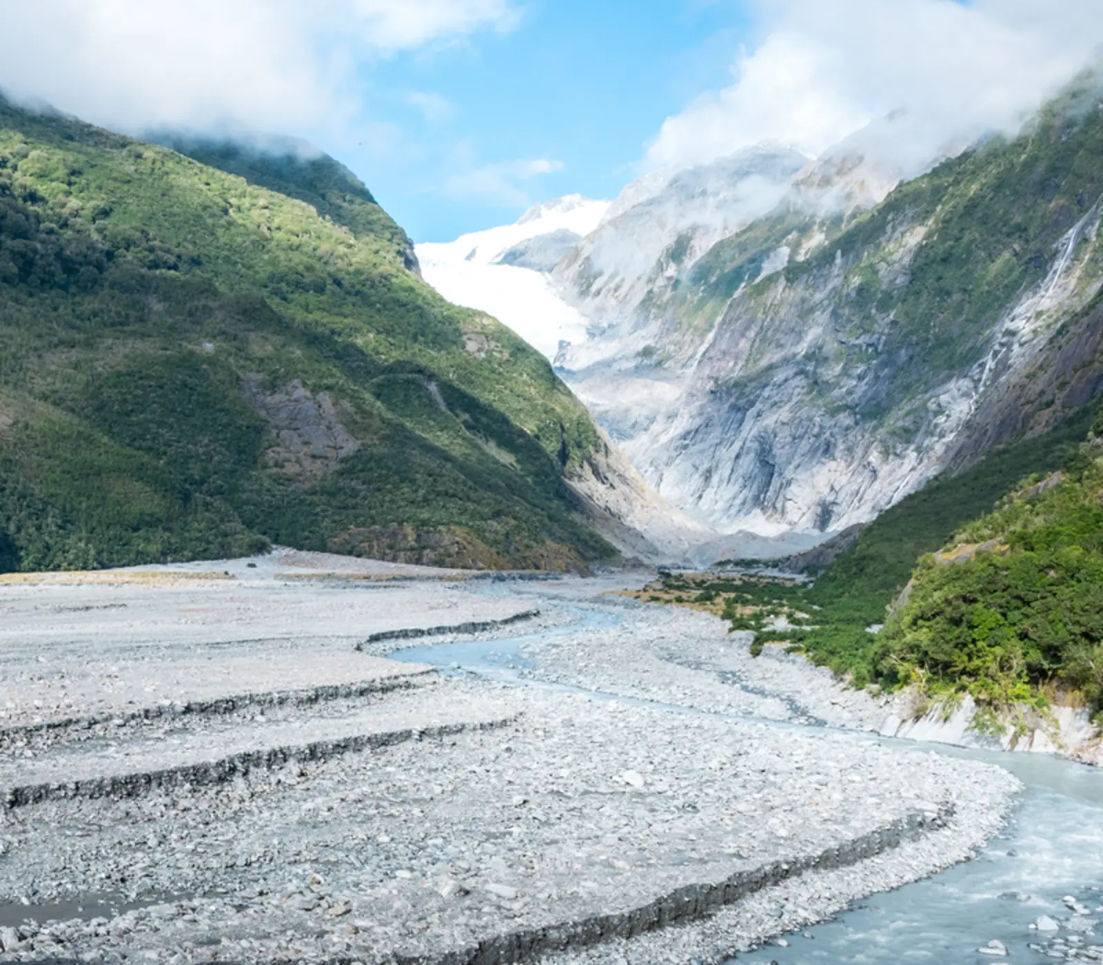
The glacier sits on the wet side of the Main Divide, 23 km north of Fox Glacier township and 135 km south of Hokitika on State Highway 6. The névé at the top catches as much as 15 m of precipitation a year, which is why so much ice gets pushed so far down into the bush. It is also shrinking fast. Franz Josef advanced through the 1980s and 1990s, then went into a rapid retreat and lost about 1.5 km of length between 2008 and 2017. The valley floor where guided groups once walked onto the ice is now a wide grey bed of moraine and river braids, and the face is well back up the valley.
The village is one street of motels, cafes and helicopter offices with the mountains as its back wall. It is small, wet and busy in summer, and it is the more useful of the two glacier villages because it has more beds and more operators. Both glaciers are flown from either base.
Heli hike, scenic flight or the free walk
There are three ways to see this glacier, and they cost different amounts of money and luck.
- The heli hike. A helicopter drops you above the icefall and a guide walks you through crevasses and ice caves for two to two and a half hours; Franz Josef Glacier Guides quote about four hours all up. It is on 42 of our itineraries. You need to be steady on your feet for a couple of hours on uneven ice. It is the best thing to do on the West Coast, and the most weather-dependent.
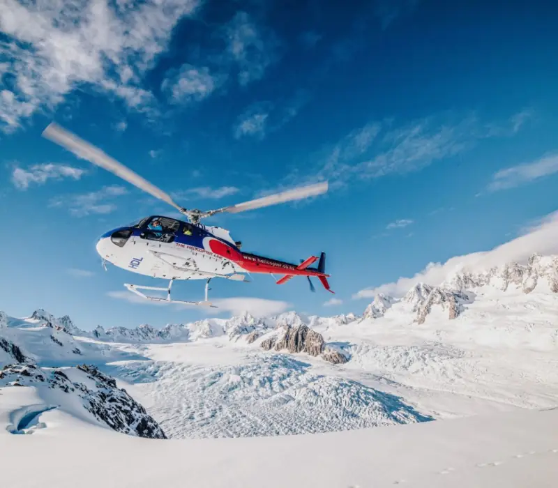
- The scenic flight. The Helicopter Line's Twin Glacier flight is 30 to 35 minutes over both Franz Josef and Fox with a snow landing high on the névé; allow an hour with the briefing. It is on 92 of our itineraries, which tells you how the trade rates it: most of the view for a third of the time and money.
- The free walk. The Franz Josef Glacier / Kā Roimata o Hine Hukatere Walk starts from the car park 4 km up the Glacier Access Road. It used to run up the valley to a viewpoint near the face; the Waiho River has since cut that route, and DOC now lists it as 1.7 km return, about 30 minutes, to a lookout over the valley and the upper glacier. Do it for the scale of the place, but do not expect to stand near ice. People have died going past the barriers here.
- Roberts Point Track is the serious free option: 12.3 km and about 5 hours 20 minutes return from the glacier car park, over ice-scoured rock and a high suspension bridge to a lookout above the glacier. Slippery when wet, which on this coast is most days. Fine weather only.
Franz Josef or Fox Glacier
The two villages are 23 km apart, about 25 minutes, and people agonise over the choice more than it deserves. The ice is comparable. Fox is quieter, has fewer beds, and has Lake Matheson five minutes away: a 4.4 km loop of about an hour and a half around a dark lake that reflects Aoraki and Mount Tasman on a still dawn, which is the West Coast photograph. Franz Josef has the bigger village and more accommodation. Our catalogue votes with its feet: 235 itineraries stop at Franz Josef and far fewer at Fox Glacier, many of them small-group tours. Our guide to Franz Josef and Fox goes through the heli hike costs.
How to get to Franz Josef
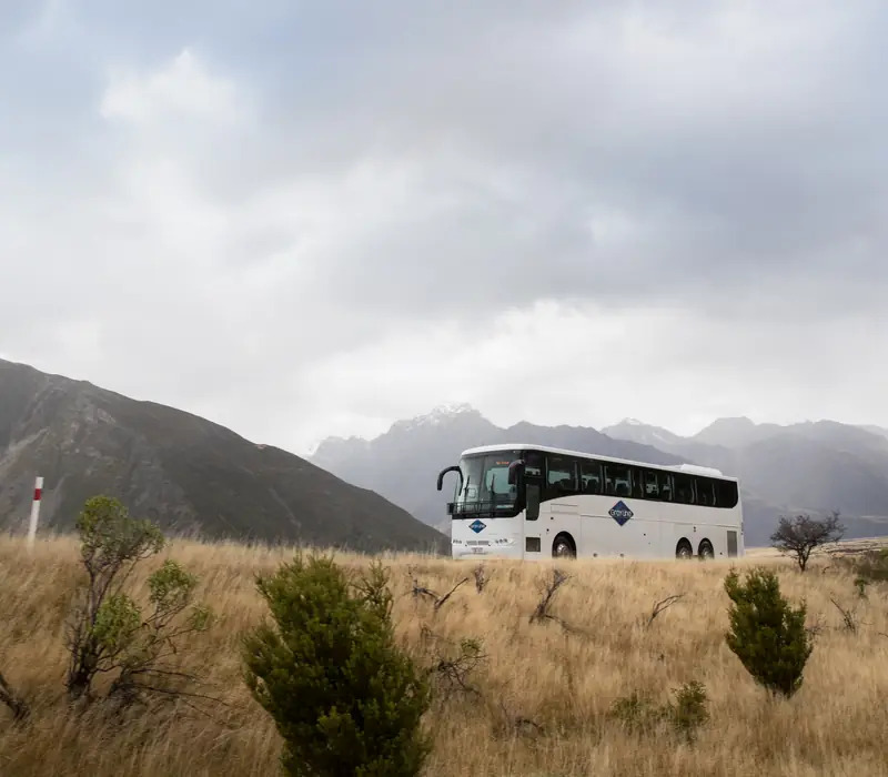
Everything comes and goes on State Highway 6. From Queenstown it is 351 km and about 4 hours 40 minutes of driving over the Haast Pass, past Lake Wānaka and Lake Hāwea. Our coach itineraries make a full day of it with stops, and it is one of the great drives of the country. From the north, Hokitika is 135 km and Greymouth 173 km. Christchurch is 382 km and five hours by road over Arthur's Pass, but most people who start there let the train do the mountains.
| From | Distance | Driving time | How our tours do it |
|---|---|---|---|
| Queenstown | 351 km | About 4 h 40 | 136 itineraries arrive this way, via Wānaka and the Haast Pass |
| Greymouth | 173 km | About 2 h 15 | Most of our self drives drop the rental car at the station, then take the TranzAlpine east |
| Hokitika | 135 km | About 1 h 45 | Nearest airport, Air New Zealand from Christchurch |
| Christchurch | 382 km | About 5 h | By road over Arthur's Pass, or just under 5 h on the train to Greymouth then 2 h 15 by road |
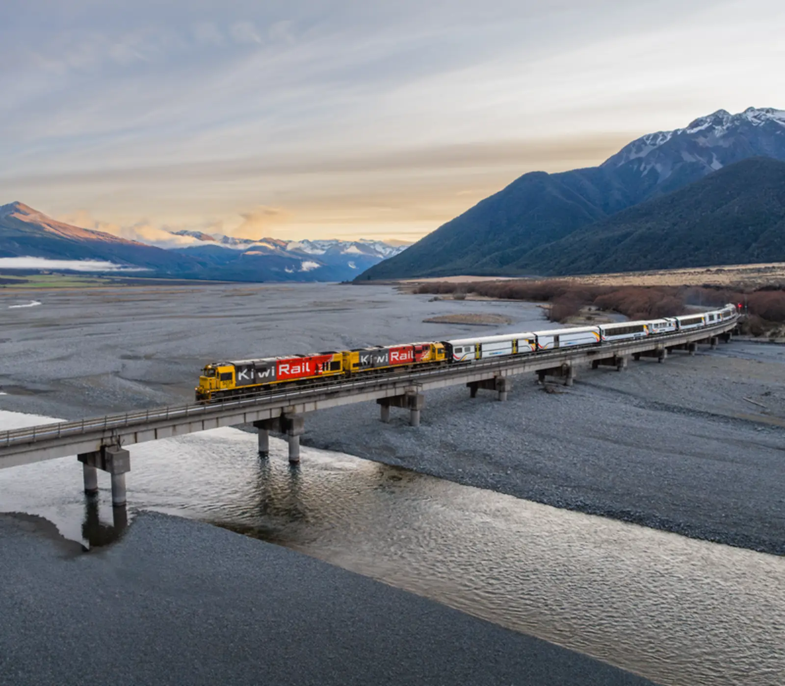
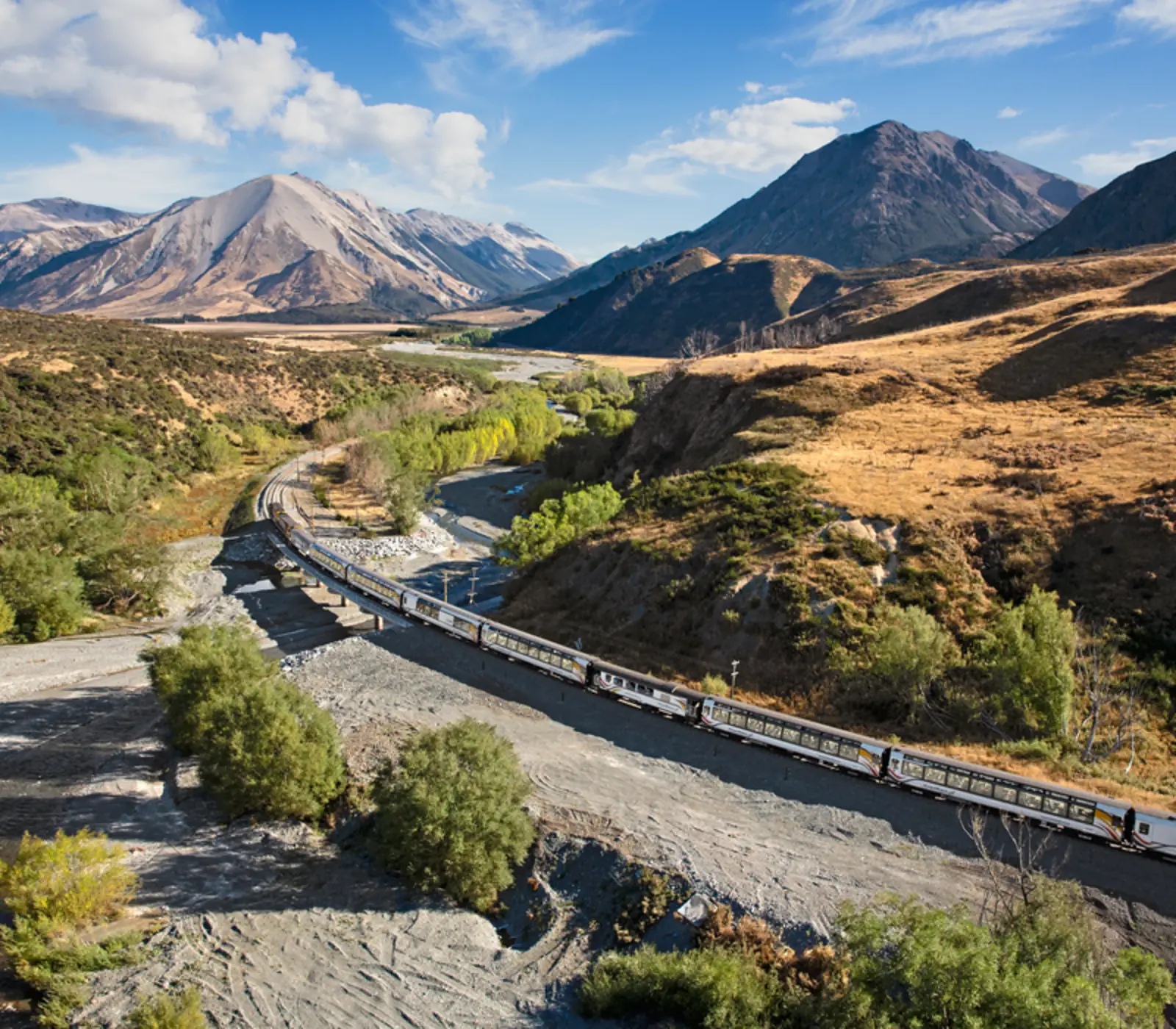
The TranzAlpine is why the West Coast leg of so many South Island trips runs the way it does. It covers the 223 km between Christchurch and Greymouth in a little under five hours, through the Waimakariri gorge and the 8.5 km Otira tunnel, and most of our self drives have you drop the rental car at Greymouth station and board it. Our guide on whether the TranzAlpine is worth it has the seat and timing advice. One more thing about this road: it floods. In March 2019 the Waiho River took out the highway bridge just south of the village after 400 mm of rain fell in a storm; it was rebuilt in 18 days. Check the NZTA journey planner after any big weather.
Rain, and when to go
Franz Josef is one of the wettest settlements in the country. The village records well over three metres of rain in a typical year, some stations report more than five, and the névé above it takes up to 15 m. There is no dry season, only wetter and drier spells. Summer is the busiest and has the longest days; autumn often brings the settled, clear stretches that get everyone airborne; winter is cold, quiet and better for flying than people expect, with snow on the peaks and low sun on the ice. Spring is the wettest. Whatever the month, put the glacier at the start of your stay rather than the end, and check the MetService forecast the night before rather than a week out. Sandflies are a fact of life at the car park and on the lagoon; long sleeves beat repellent.
Where to stay in Franz Josef
The village packs everything from backpackers to a five-star lodge in the trees along a short strip, and nothing is more than ten minutes' walk from the cafes. Our itineraries sleep most often at Punga Grove Motel & Suites (73 of them), a block back from the main road on the rainforest edge, then the Scenic Hotel Franz Josef Glacier (49) on the highway, Te Waonui (20), the forest lodge that is the top-end choice, and Westwood Lodge (18). Bella Vista (10), Aspen Court (9) and 58 on Cron (5) are the sensible mid-range motels.
One night or two? 113 of our itineraries give the village one night and 116 give it two, and we have a view: two if the heli hike matters to you, because the weather buffer is the whole point; one if the flight or the valley walk will do and you would rather have the extra night in Wānaka or up the coast at Punakaiki.
Beyond the ice: Ōkārito, hot tubs and kiwi
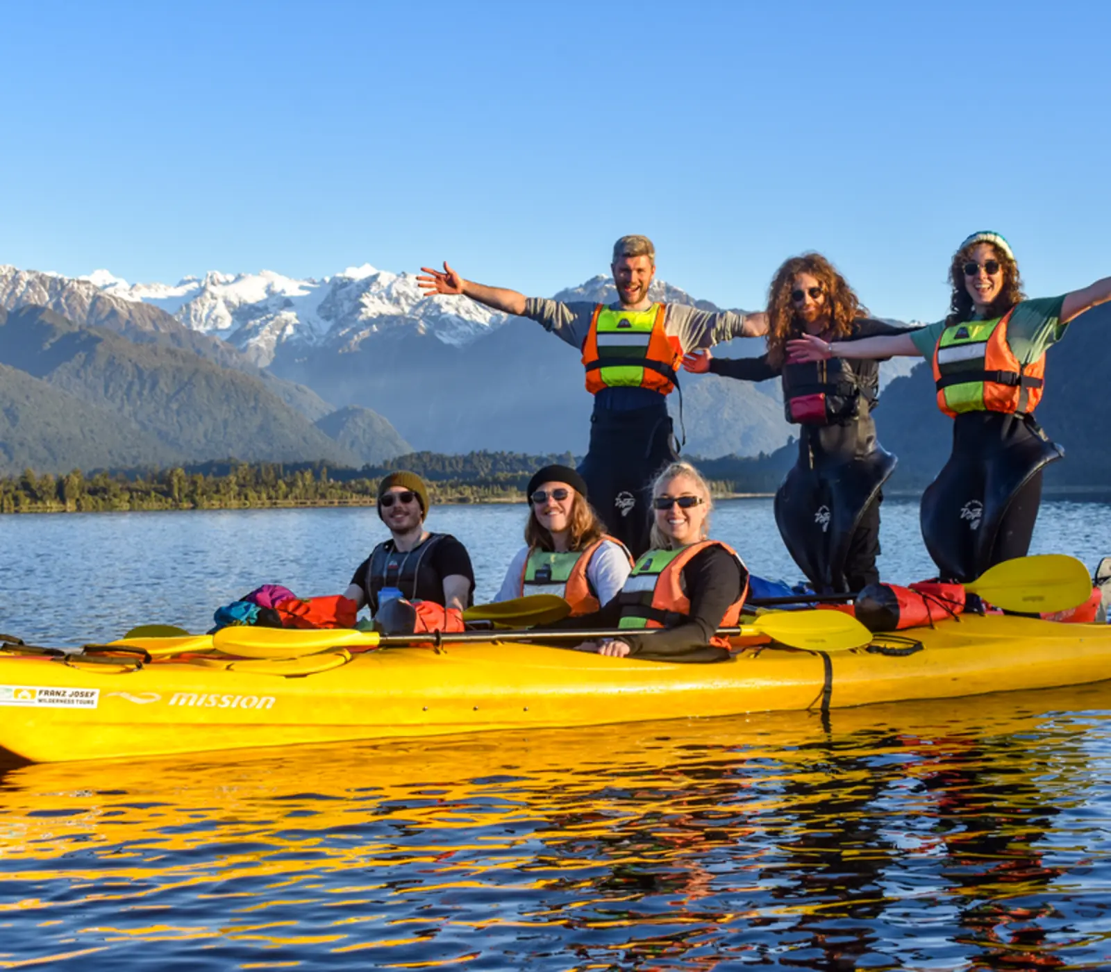
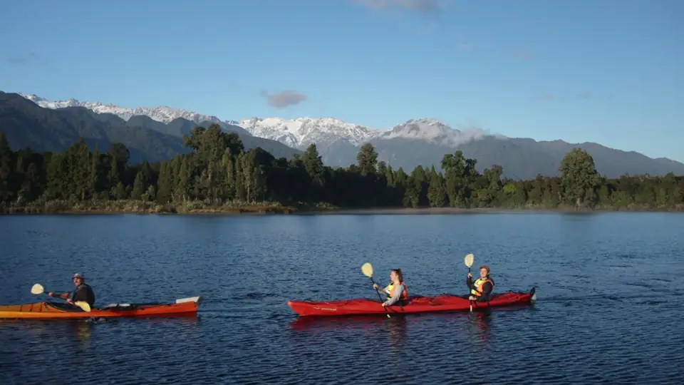
The glacier gets the attention, but the best half day we know here is on the water at Ōkārito, 28 km north: 15 km up the highway, then 13 km of sealed road to a hamlet of about 30 people. The lagoon is New Zealand's largest unmodified wetland, and a guided kayak on it, with the Alps standing up behind the kahikatea, is on 16 of our itineraries. Kōtuku, the white heron, feed here in spring and summer; their only breeding colony is on a river near Whataroa, visited by a separate tour. Back in the village, Glacier Valley Eco Tours run the guided rainforest and valley walk that 39 of our itineraries use, Waiho Hot Tubs (private cedar tubs under the trees) are on 19, and the West Coast Wildlife Centre hatches rowi, the rarest kiwi, and shows them in a nocturnal house. The hot springs guide covers the other West Coast soaks.
What the itineraries do in Franz Josef Glacier
235 of our itineraries reach Franz Josef Glacier and 229 sleep there: 113 for 1 night, 116 for 2 nights. Counted from the day by day of every tour, so the numbers move with the catalogue.
- Twin Glacier Scenic Helicopter Flight with The Helicopter Line on 92 itineraries
- Franz Josef Glacier Helihike with Franz Josef Glacier Guides on 42 itineraries
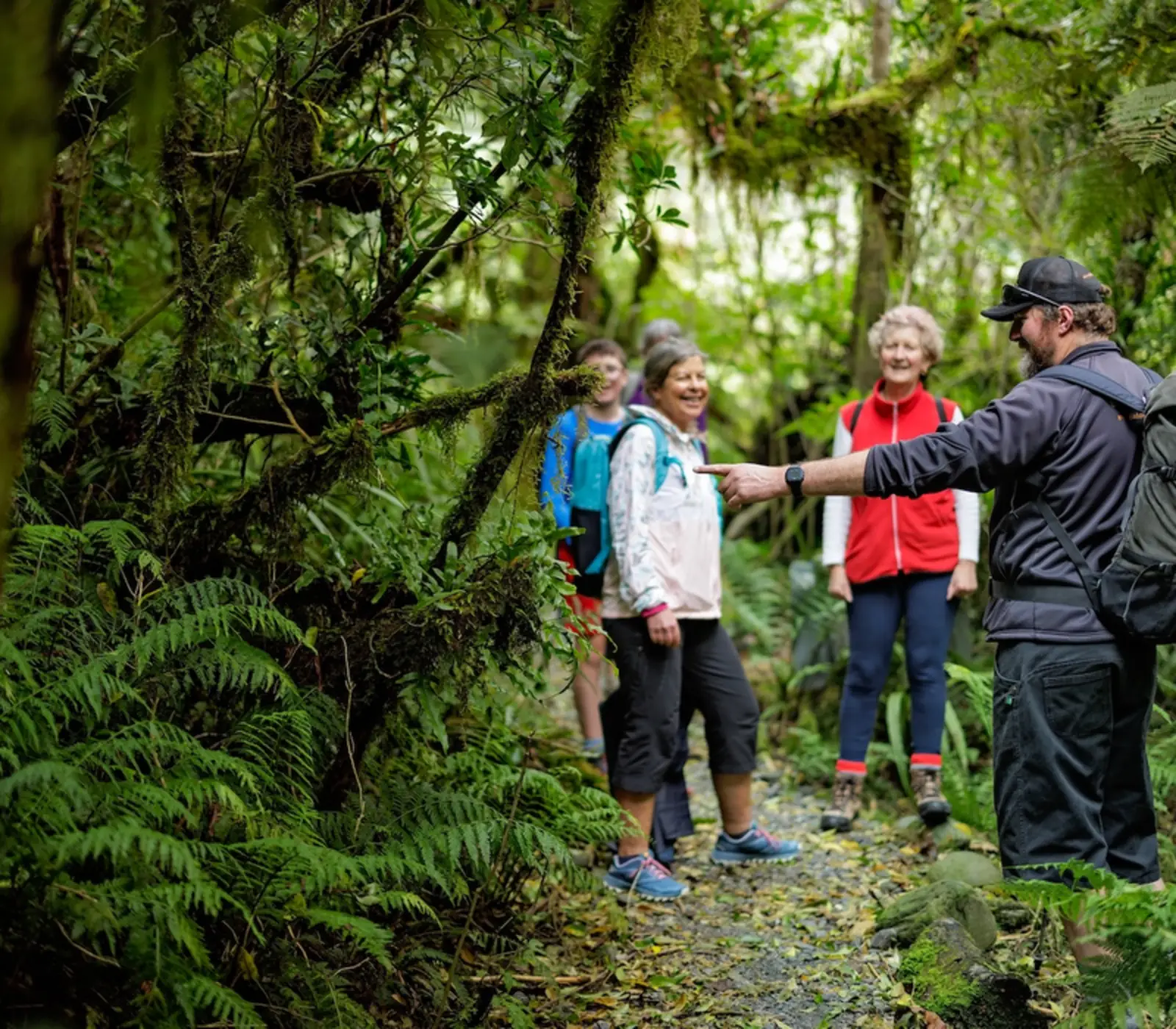
- Franz Josef Nature Tour with Glacier Valley Eco Tours on 39 itineraries
- Glacier Valley Shuttle on 30 itineraries
- TranzAlpine Scenic Train: Christchurch to Greymouth on 27 itineraries
- One Hour Private Tub with Waiho Hot Tubs on 19 itineraries
- Okarito Lagoon Guided Kayak Trip (2 hours) with Okarito Kayaks on 16 itineraries
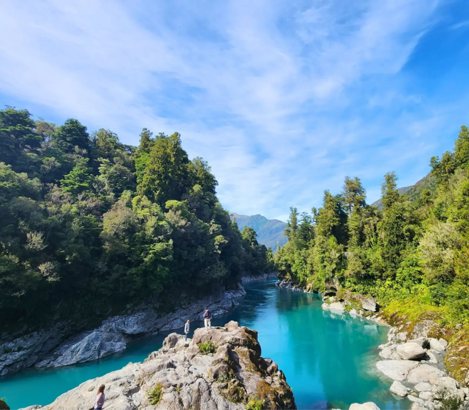
- Blue Pools on 8 itineraries
Where they stay: Punga Grove Motel & Suites (73), Scenic Hotel Franz Josef Glacier (49), Legacy Te Waonui Hotel Franz Josef (20), Westwood Lodge (18), Bella Vista Franz Josef (10), Aspen Court Franz Josef (9). Every property is named on its tour page, with the room grade.
Most arrive from Queenstown (136), Christchurch (47), Wānaka (22) and carry on to Christchurch (132), Queenstown (49), Wānaka (16).