Greymouth is a working town of about 8,600 people at the mouth of the Grey River, the largest on the South Island's West Coast and the western end of the TranzAlpine railway from Christchurch. Its Māori name, Māwhera, means a wide river mouth, and the river runs the place: it brought coal barges and gold diggers in the 1860s, it flooded the town twice in 1988, and the concrete floodwall built afterwards is now the town's riverside walk. Greymouth is not pretty in the way Hokitika or Punakaiki are. It is a practical, friendly coal and timber town, and it is useful.
That usefulness is why 190 of our itineraries pass through it and only 14 stay the night. Most use the railway station. 138 of them board the TranzAlpine here after a few days down the coast at the glaciers, and 34 arrive on it from Christchurch and pick up a car or coach to carry on south. If you have a spare hour or a spare evening, this is what the town and the coast around it hold.
- From Christchurch
- 245 km, about 3 h 30, or 5 h on the TranzAlpine
- From Franz Josef
- 175 km, about 2 h 15
- From Hokitika
- 40 km, about 35 min
- Nearest airports
- Hokitika (HKK), 40 km south, Christchurch (CHC), 3 h 30 by road
The TranzAlpine and Greymouth station
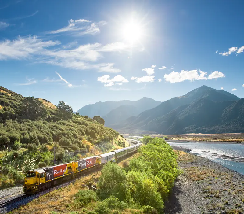
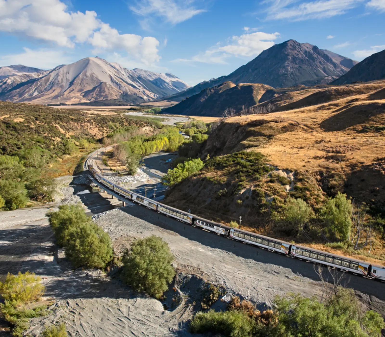
The TranzAlpine runs daily between Christchurch and Greymouth, 223 km across the Canterbury Plains, up the Waimakariri gorge, through the 8.5 km Otira Tunnel under Arthur's Pass and down past Lake Brunner and along the Grey valley to the coast. It takes about five hours. The westbound train reaches Greymouth in the early afternoon and turns back towards Christchurch about an hour later, which is why the day return from Christchurch gives you barely enough time for a coffee. The station is in the middle of town, a few minutes' walk from the river.
Direction matters more than people think. Going east, from Greymouth, you climb through rainforest to the pass in the first half of the trip and cross the plains in the afternoon; going west you get the plains first and the mountains before lunch. Both are good. What most of our itineraries do is arrive on the coast by road, head south to the glaciers, then come back north to Greymouth and take the train east to finish in Christchurch. 8 of them upgrade to Scenic Plus, with meals served at your seat.
Things to do in and around Greymouth
- The floodwall walk: the Grey River floodwall, finished in 1990, runs along the riverbank through the centre towards the river mouth and the bar, where fishing boats wait for the tide. On a clear day you see the Southern Alps from the end of it.
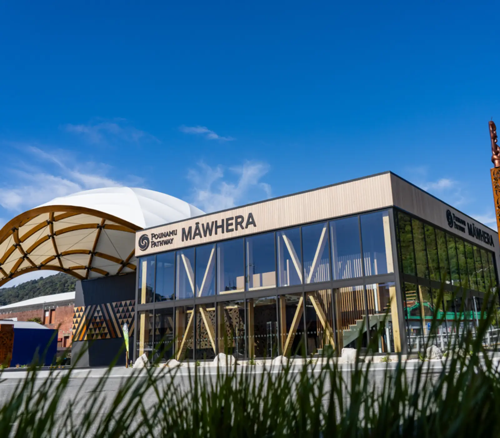
- The Pounamu Pathway: the Māwhera site of this Poutini Ngāi Tahu project tells the story of pounamu, greenstone, and the people who have carried it from the West Coast rivers for centuries, using film and interactive displays. It is on 3 of our itineraries.
- Shantytown Heritage Park: a rebuilt gold-rush town about 10 minutes south, with a working steam train, a sawmill and gold panning. Families like it most. 3 of our itineraries include it.
- Brunner Mine: a DOC historic site 15 minutes up the Grey valley, where an explosion on 26 March 1896 killed 65 men, the worst mining disaster in New Zealand's history. A short walk over a swing bridge leads through the ruins of the coke ovens. It is free, sobering and well explained.
- Monteith's Brewery: the brewery was founded in Greymouth in 1868 and still has a bar and tasting room in town.
- Point Elizabeth Walkway: a coastal track north of town, about 5.5 km one way from Rapahoe, through nīkau palm and rātā forest to a lookout over the Tasman Sea.
The two bigger sights are a short drive away. Punakaiki and the Pancake Rocks are about 45 minutes north on one of the best coastal roads in the country; the blowholes perform best at high tide with a swell running. Hokitika, with its gorge, beach and pounamu carvers, is 35 minutes south.
How to get to Greymouth
There are three ways in: the TranzAlpine from Christchurch, State Highway 73 over Arthur's Pass, which the railway shadows, and State Highway 6, the coast road that runs from Westport in the north to the glaciers and Haast in the south. Greymouth has an airport but no scheduled flights; the nearest are at Hokitika (HKK), with Air New Zealand to Christchurch.
| From | Distance | Driving time | Notes |
|---|---|---|---|
| Christchurch | About 245 km | About 3 h 30 | SH73 over Arthur's Pass; or the TranzAlpine, about 5 h |
| Hokitika | About 40 km | About 35 min | SH6 south along the coast |
| Punakaiki | About 45 km | About 45 min | SH6 north, the Great Coast Road |
| Franz Josef | About 175 km | About 2 h 15 | SH6 south; the drive most of our itineraries do the day the train arrives |
| Westport | About 100 km | About 1 h 30 | The coast road through Punakaiki; 4 of our itineraries come this way |
Is it better to stay in Hokitika or Greymouth?
For most travellers, Hokitika. It is smaller, it has a beach you can walk out onto from the main street, better places to eat, the pounamu carving studios and Hokitika Gorge within half an hour. Greymouth wins if you are catching the morning train east, need a supermarket and a mechanic, or want to be closer to Punakaiki. It is 40 minutes between them, so the choice is less important than it looks.
That is roughly how our itineraries split it. Of the 14 that sleep in Greymouth, most are there for a single night before or after the train. For a longer West Coast stay, we put people in Hokitika, at Punakaiki for the coast, or at Franz Josef for the glaciers.
Greymouth weather: rain, sun and the Barber
The West Coast is wet because the prevailing westerlies hit the Southern Alps and drop their rain on the coast. Greymouth gets about 2,400 mm a year, roughly four times Christchurch, but in heavy bursts rather than constant drizzle, and it still sees about 1,850 hours of sunshine. Average highs run from about 19°C in January to 12°C in July, and winter days are often clear and still. The local weather oddity is the Barber, a cold wind that drains down the Grey valley on winter mornings with a band of mist, sharp enough on the face that it earned the name.
Summer and early autumn, December to April, are the best months to drive the coast. Winter is quieter and often brighter than people expect, with snow on the Alps behind the town. Keep an eye on the MetService forecast and on State Highway 73 and State Highway 6 in heavy rain, when slips can close them.
Where to stay in Greymouth
Greymouth has motels along the main roads, a few hotels in the centre and holiday parks by the beach at the south end of town. For a night before the train, anywhere within a short drive of the station works; there is nothing to gain from staying outside town. The two places our itineraries use are Bella Vista Greymouth, on 6 of them, and the Copthorne Hotel Greymouth, on 4.
What the itineraries do in Greymouth
190 of our itineraries reach Greymouth and 14 sleep there: 14 for 1 night. Counted from the day by day of every tour, so the numbers move with the catalogue.
- TranzAlpine Scenic Train: Greymouth to Christchurch on 138 itineraries
- TranzAlpine Scenic Train: Christchurch to Greymouth on 34 itineraries
- TranzAlpine Scenic Train: Greymouth to Christchurch Scenic Plus on 8 itineraries
- TranzAlpine Scenic Train: Christchurch to Greymouth Scenic Plus on 7 itineraries
- Māwhera Pounamu Pathway Immersive Experience on 3 itineraries
- Shantytown Heritage Park Experience on 3 itineraries
Where they stay: Bella Vista Greymouth (6), Copthorne Hotel Greymouth (4). Every property is named on its tour page, with the room grade.
Most arrive from Westport (4), Franz Josef (3), Christchurch (3) and carry on to Christchurch (9), Nelson (1), Hokitika (1).