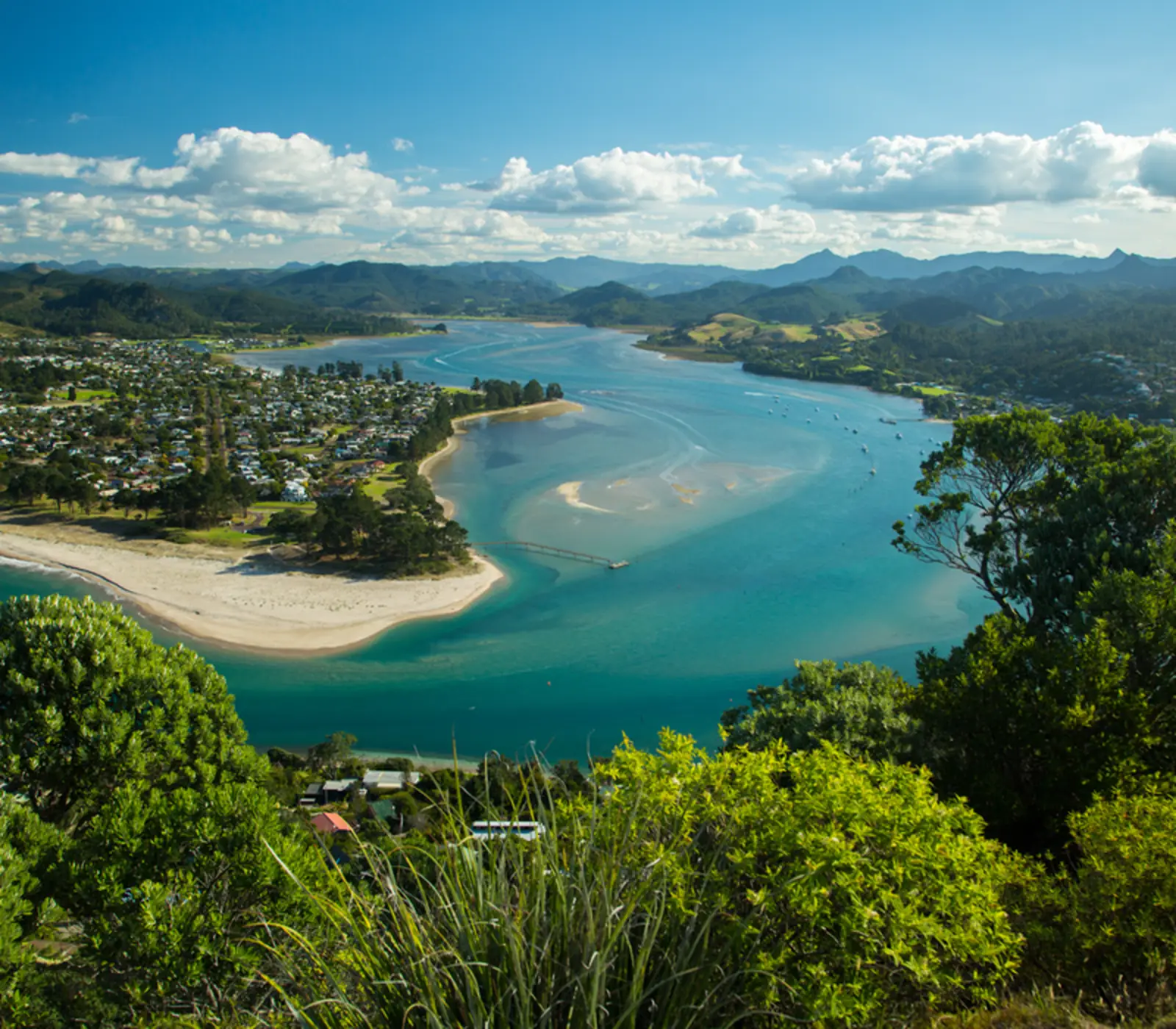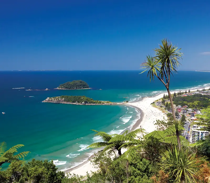
Tauranga is the only city on the Bay of Plenty coast: about 161,000 people around a big, sheltered harbour, the fifth largest city in New Zealand and home to its largest port. The centre sits on a peninsula on the western shore. Across the harbour bridge, Mount Maunganui is the beach suburb most visitors actually come for, running out to Mauao, the 232 m extinct volcano at the harbour entrance. It is one of the sunniest places in the country, and from Christmas to late January it is full of holidaymakers.
Of the itineraries we sell, 16 come through Tauranga, nearly all on the same self-drive day: down from the Coromandel, round the harbour, then inland over the Pyes Pa Road to Rotorua. Only 2 stop for the night. That is fair for a first trip with limited days, and a little unfair to a place that does a beach day with a proper city attached. The bigger caveat is recent: Mauao, the walk most people stop for, has been closed since a deadly landslide in January 2026.
- From Auckland
- 205 km, about 2 h 30 to 3 h
- From Rotorua
- 60 km, about 1 h
- From Hamilton
- 105 km, about 1 h 30
- From Whitianga
- 165 km, about 2 h 30
- Nearest airports
- Tauranga (TRG), on the Mount Maunganui side of the harbour, Auckland (AKL), about 2 h 30 to 3 h by road
Tauranga and Mount Maunganui: one city on both sides of the harbour
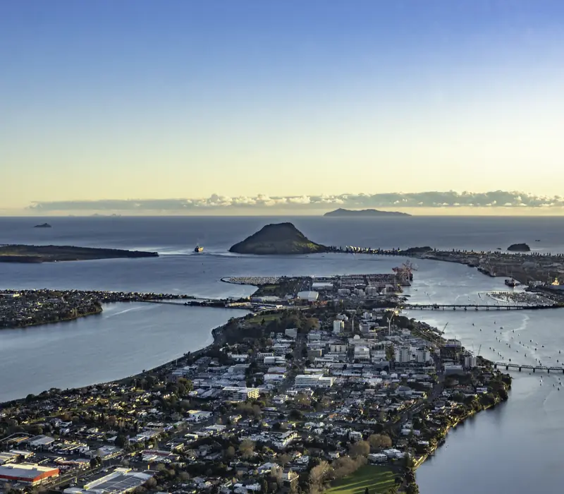
Tauranga Harbour is a long tidal harbour sheltered from the sea by Matakana Island, and the city covers its south-eastern end. The centre, with the Strand waterfront and the shops, is on the Te Papa peninsula. Mount Maunganui, "the Mount" to locals, is across the harbour bridge to the east: a suburb of the same city, though it feels like a separate beach town. The Port of Tauranga works both shores. It is the largest port in the country by cargo and by containers, and every ship bound for it comes in through the narrow channel beside Mauao.
Māori settled the harbour in the late thirteenth century, and the three iwi of Tauranga Moana, Ngāi Te Rangi, Ngāti Ranginui and Ngāti Pūkenga, are still here; Mauao was returned to them in 2007. The name means a resting place or anchorage. Missionaries set up at Te Papa in 1838, and their mission house, finished in 1847 and now called The Elms, still stands at the north end of the centre beside its original library. In 1864 British troops used the mission as a supply base before attacking the pā at Pukehinahina, Gate Pā, on 29 April. They lost, the worst defeat British troops suffered in the New Zealand Wars, and the missionary Alfred Brown buried men from both sides.
Mauao and the January 2026 landslide
Mauao is the reason most visitors stop: a 232 m volcanic cone at the end of the Mount Maunganui peninsula, with summit tracks that take 40 minutes to an hour to climb and a 3.4 km base track that loops round its foot in about 45 minutes. At the time of writing, in late September 2026, all of them are closed.
On 21 and 22 January 2026 almost 300 mm of rain fell on the Mount in two days. More than forty slips came off Mauao, and on the morning of 22 January one hit the Mount Maunganui Beachside Holiday Park at its foot, killing six people. The mountain has been fenced off since, and the council and the Mauao Trust, which manage it together, are reopening it in stages on geotechnical advice. Repairs to the summit track, Te Ara Motukauri (the old 4WD road), are finished and base track work began in July. In September the mayor said he hoped to open the summit route, the Waikorire stairs track and part of the base track over summer, but gave no date. The holiday park and the Mount Hot Pools are closed until further notice.
Check the council's Mauao page before you plan a day around the summit, and stay outside the fences: there have been new slips during the repairs. But do not write the Mount off. The streets at its foot reopened in February, and the beach, the cafes and the long walk along the sand towards Pāpāmoa carry on as before.
Things to do in Tauranga and around the harbour
With the summit shut, a day here is a beach, a harbour and a few short drives. The walking day on 2 of our itineraries uses the city's coastal and estuary paths, such as the Waikareao Estuary boardwalk beside the centre. These are the other things we would fit in.
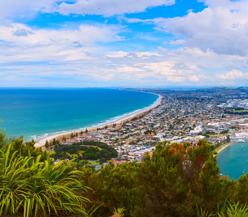
- The surf beach. Main Beach starts at the foot of Mauao and carries on south-east as Ocean Beach towards Pāpāmoa, patrolled by surf lifesavers near the surf club in summer. Swim between the flags; this is an open ocean beach with rips.
- The Strand and The Elms. The city waterfront has been rebuilt with a boardwalk, a children's play area with a water feature, and restaurants looking across the harbour to the Mount. The Elms, the 1847 mission house and its 1838 library, is a short walk north.
- McLaren Falls Park: 190 hectares of lake, bush and lawns about 20 minutes inland, with a short, easy waterfall track where glowworms show on the banks after dark. Take a torch for the path and switch it off when you get there.
- Pāpāmoa Hills: a 182 hectare regional park on the ridges east of the city, with the terraces of old pā plain on the slopes and a steep 45 minute climb to a 224 m summit. Until Mauao reopens it is the best view of the bay within easy reach. No dogs.
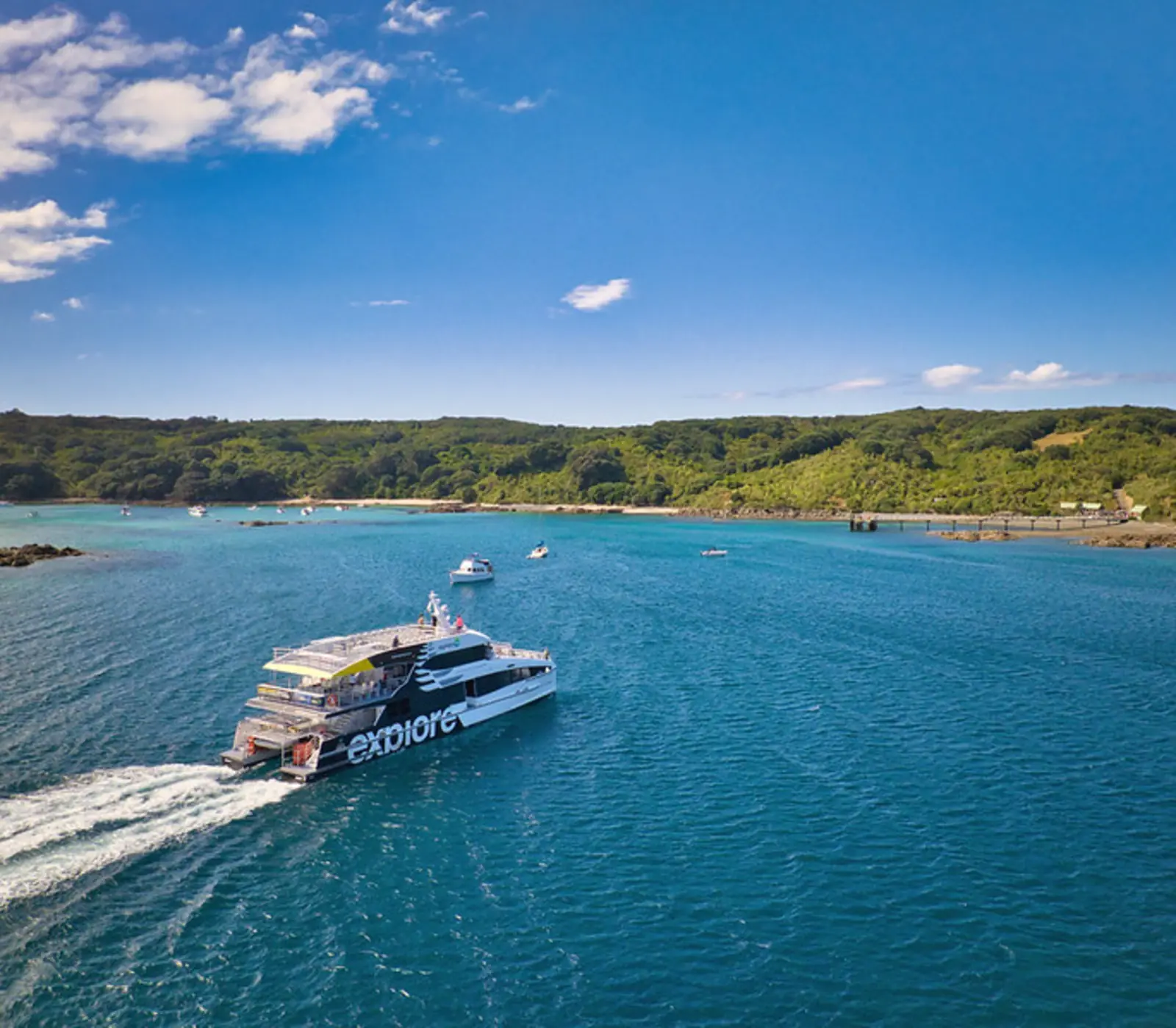
- Dolphins: boats go out from Tauranga to find common dolphins in the bay, and on some trips you can swim with them when the permit rules allow. Dolphin Seafaris runs these from the city.
- Te Puke: 25 minutes east through the orchards, a town that markets itself as the kiwifruit capital of the world. From about March, when the picking starts, the roadside stalls fill up.
How to get to Tauranga
Most people arrive by road. From Auckland, State Highway 2 leaves the motorway at Pōkeno, crosses the Hauraki Plains, runs through the Karangahake Gorge to Waihi and follows the harbour south through Katikati. From Hamilton, State Highway 29 climbs over the Kaimai Range, steep, winding and busy with trucks heading for the port. From Rotorua it is an hour on State Highway 36, the Pyes Pa Road.
| From | Distance | Driving time | Notes |
|---|---|---|---|
| Auckland | About 205 km | 2 h 30 to 3 h | SH2 through the Karangahake Gorge and Waihi |
| Hamilton | About 105 km | About 1 h 30 | SH29 over the Kaimai Range |
| Rotorua | About 60 km | About 1 h | SH36, the Pyes Pa Road; how our itineraries leave |
| Whitianga | About 165 km | About 2 h 30 | Via Whangamatā and Waihi; the day most of our itineraries drive |
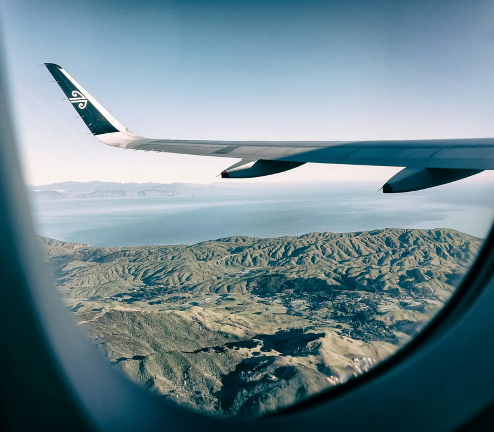
Tauranga Airport (TRG), on the Mount side of the harbour bridge, has Air New Zealand flights to Auckland, Wellington and Christchurch but no international flights, so from Australia or further afield you connect in Auckland. Hobbiton, about an hour inland over the Kaimai Range, runs its own transfers from Tauranga.
How long to stay, and how our itineraries use it
Most of our itineraries treat Tauranga as the middle of a driving day, from Whitianga, Tairua, Pauanui or Hahei down through Whangamatā and Waihi, round the harbour and inland on the Pyes Pa Road to Rotorua: three hours or more at the wheel before stops. The Coromandel and Rotorua get the nights, and Tauranga gets lunch. The overnight itineraries split between one night (1) and two (1), arriving from the Coromandel and going on to Rotorua or back to Auckland. The two night version is Northern Beach Explorer, a seven day self-drive loop from Auckland.
Our advice: if you are driving through, have lunch at the Mount rather than in the city; it is a short detour over the bridge and the beach is the point. If the beach is why you came, give it one night and swim before breakfast. While Mauao is closed, two nights is more than most people need unless you want a dolphin trip. Cruise passengers come ashore on the Mount side of the port, with the town and the beach on foot, or Rotorua and Hobbiton each about an hour away by tour.
Weather and the best time to visit Tauranga
The weather is mild and unusually sunny. January averages a high of 24°C and July 15°C, rain is about 1,200 mm a year, and the sun is out for around 2,400 hours, which puts Tauranga among the sunniest cities in the country. Summer is beach season, and also when everyone else comes: from Christmas to the end of January New Zealand is on holiday and the Mount is full. February and March are our pick, with the sea at its warmest, the schools back and the evenings still long. Easter brings the National Jazz Festival, which has been running since 1963. Winter is quiet, good for walking and too cold for most people to swim.
The weather to respect is heavy rain, which is what brought the slips in January 2026. If a lot is forecast, expect hill tracks to close at short notice, and check the MetService forecast for Tauranga before you set off.
Where to stay in Tauranga and Mount Maunganui
Our itineraries use two hotels, both in the city rather than at the Mount. Mercure Tauranga, the former Hotel Armitage on Willow Street, a short walk from the Strand, is where 1 of them sleep. Trinity Wharf, built on piers over the harbour at the edge of the centre, takes 1. The city suits a one-night stop on a driving route: restaurants on foot, easy parking and a quick start for Rotorua in the morning.
For a beach stay, Mount Maunganui is the place, with apartment blocks along Marine Parade and motels further out towards Pāpāmoa. The holiday park at the foot of Mauao is closed until further notice. From Christmas to the end of January the Mount books out and prices rise to match, so book early or stay in the city. Our North Island tours show which routes can take a night here.
What the itineraries do in Tauranga
16 of our itineraries reach Tauranga and 2 sleep there: 1 for 1 night, 1 for 2 nights. Counted from the day by day of every tour, so the numbers move with the catalogue.
- Walking tracks in and around Tauranga and Mount Maunganui on 2 itineraries
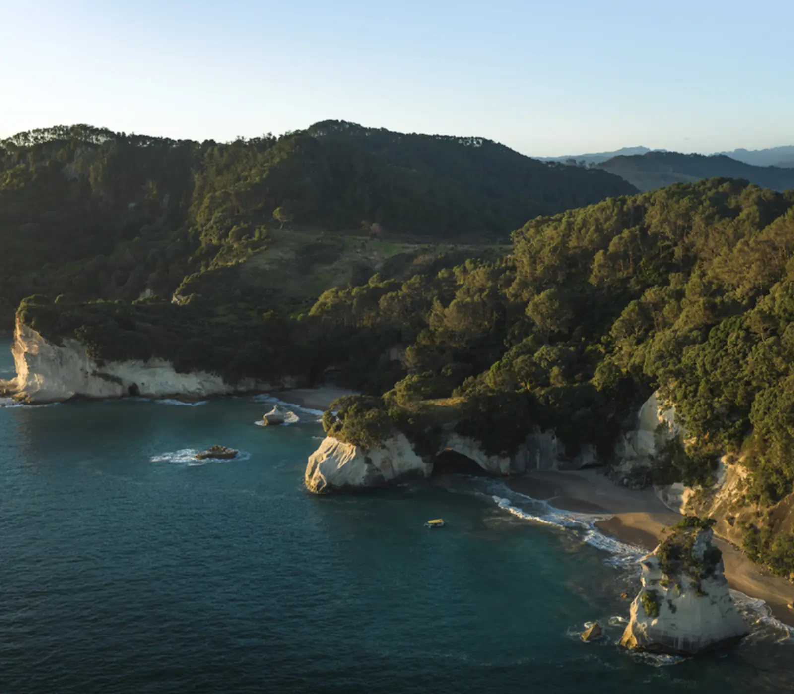
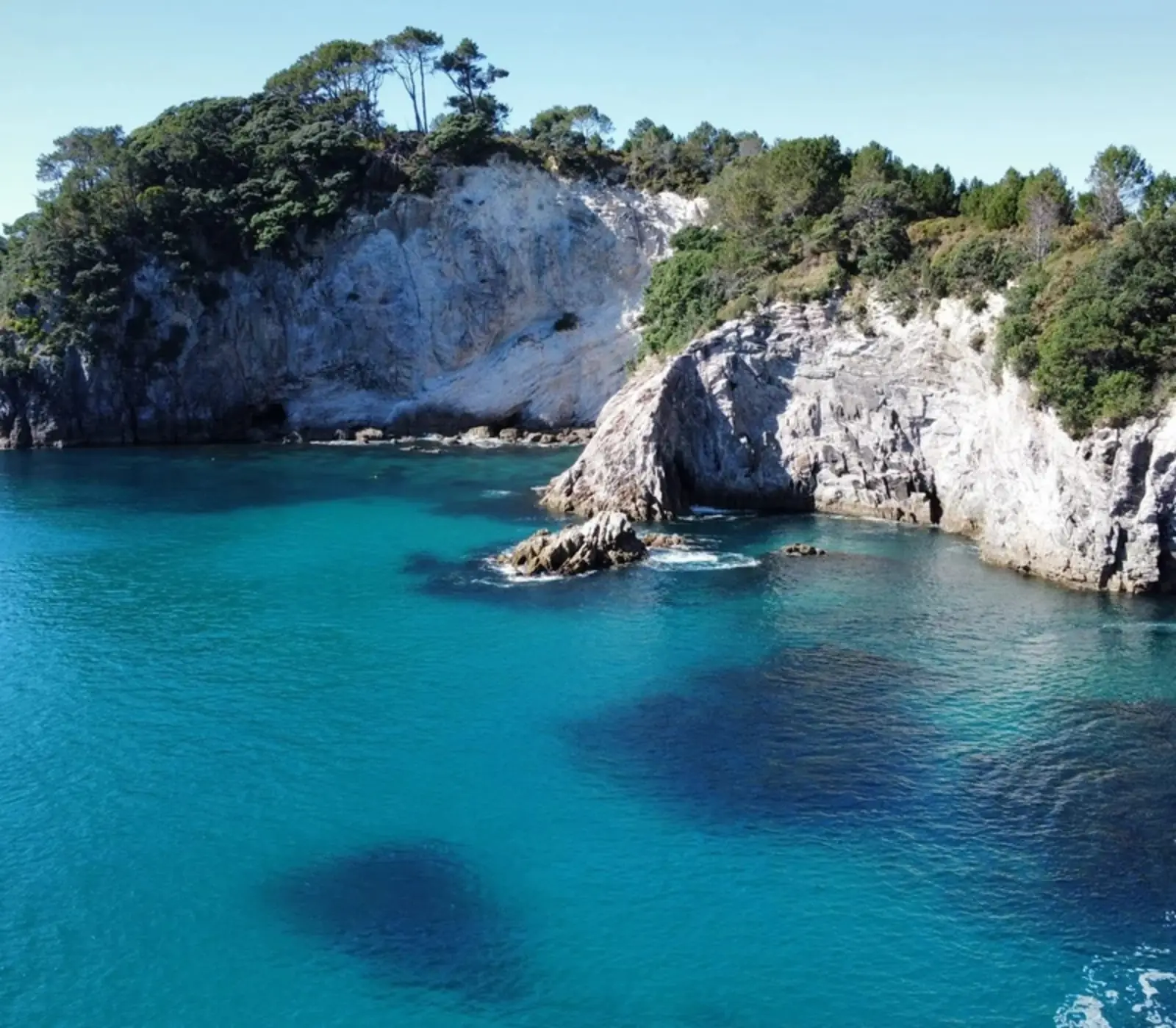
- Coves, Caves and Coastline Cruise from Whitianga on 1 itinerary
Where they stay: Mercure Tauranga (1), Trinity Wharf Tauranga (1). Every property is named on its tour page, with the room grade.
Most arrive from Coromandel (2) and carry on to Auckland (1), Rotorua (1).