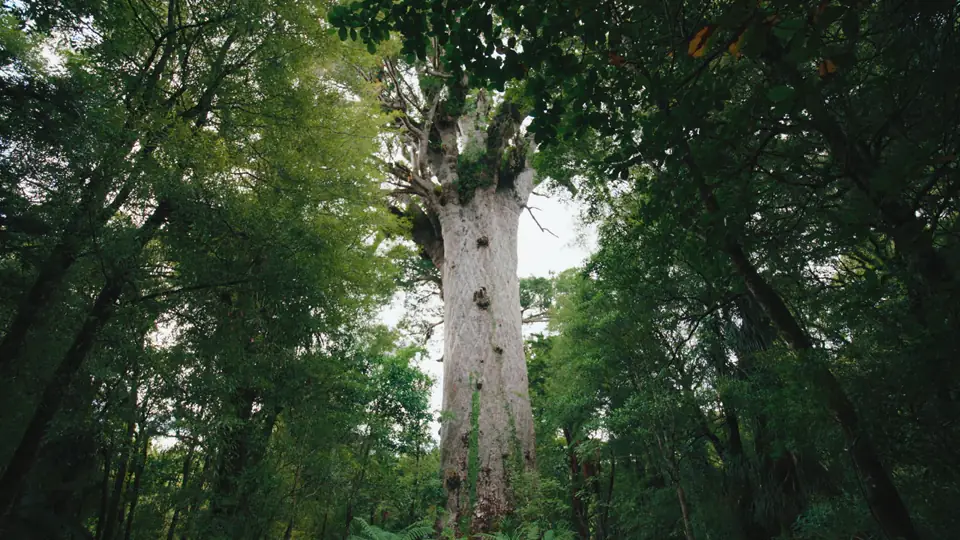
Waipoua Forest is a protected kauri forest on the west coast of Northland, with State Highway 12 running through it about 65 km north of Dargaville. Together with the Mataraua and Waimā forests next door it makes up the biggest block of native forest left in Northland, and it holds Tāne Mahuta, the largest living kauri known: 51.2 m tall, with a trunk 13.77 m round. For most people a visit is a car park on the highway, five minutes on a raised boardwalk and a long look up. That sounds slight. Standing there, it is not.
Of the itineraries we sell, 35 pass through Waipoua. The commonest pattern, on 19 of them, is the long drive from the Bay of Islands to Auckland: west to the Hokianga Harbour, south through the forest, then down the Kauri Coast to the city. Only 6 stay the night, most of them at Waipoua Lodge on the southern edge of the forest, and the reason is usually the twilight walk with a Māori guide.
- From Paihia
- 108 km, about 1 h 45
- From Auckland
- 235 km, about 3 h 15
- From Dargaville
- 65 km, about 1 h
- From Ōmāpere
- 18 km, about 20 min
- Nearest airports
- Kerikeri, Bay of Islands (KKE), about 1 h 40 by road, Whangārei (WRE), about 2 h by road, Auckland (AKL), about 3 h 45 by road
What Waipoua is, and how it was saved
Kauri are the giants of the northern forest. DOC puts the biggest at more than 50 m tall, with trunk girths up to 16 m and lives of more than 2,000 years. Elsewhere in the north, logging and burning did their work: by the early 1900s most of the kauri forest had been cut. Waipoua had been Crown land since 1876, bought from Tiopira Kinaka of Te Roroa and Parore Te Awha of Te Kuihi for a little over £2,000. A 1947 petition with more than 43,000 signatures asked Parliament to protect it, a campaign led by Professor Roy McGregor kept up the pressure, and on 2 July 1952 over 80 km² was proclaimed a forest sanctuary.
The tangata whenua are Te Roroa, who run the campground by the Waipoua River and are DOC's partners in the Rākau Rangatira project, the work now rebuilding the walks. North Island brown kiwi and kōkako both live in the forest, though you are unlikely to see either from a boardwalk in daylight: kiwi come out at night, and the kōkako keep to the high plateau country.
Tāne Mahuta, Te Matua Ngahere and what is open
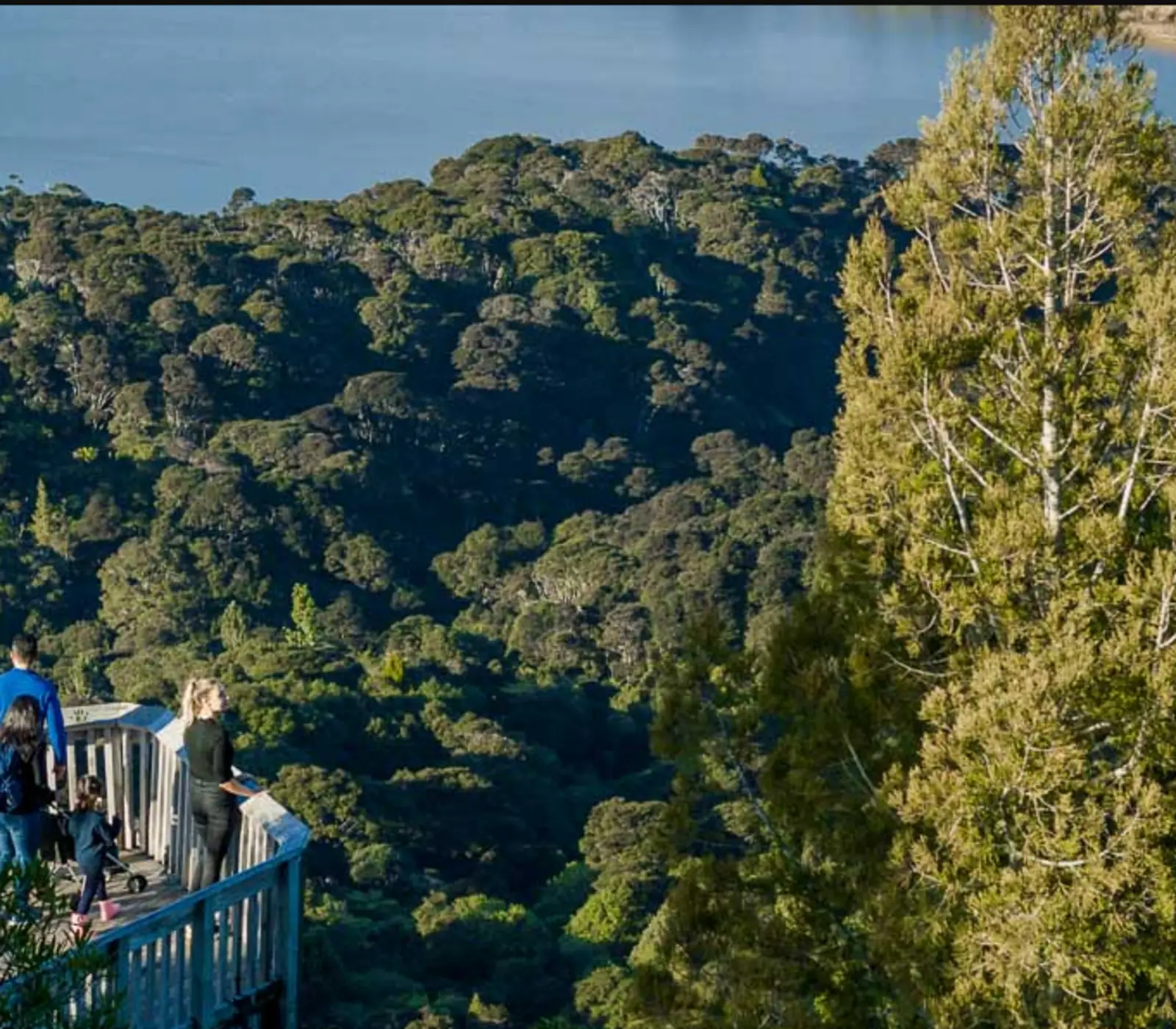
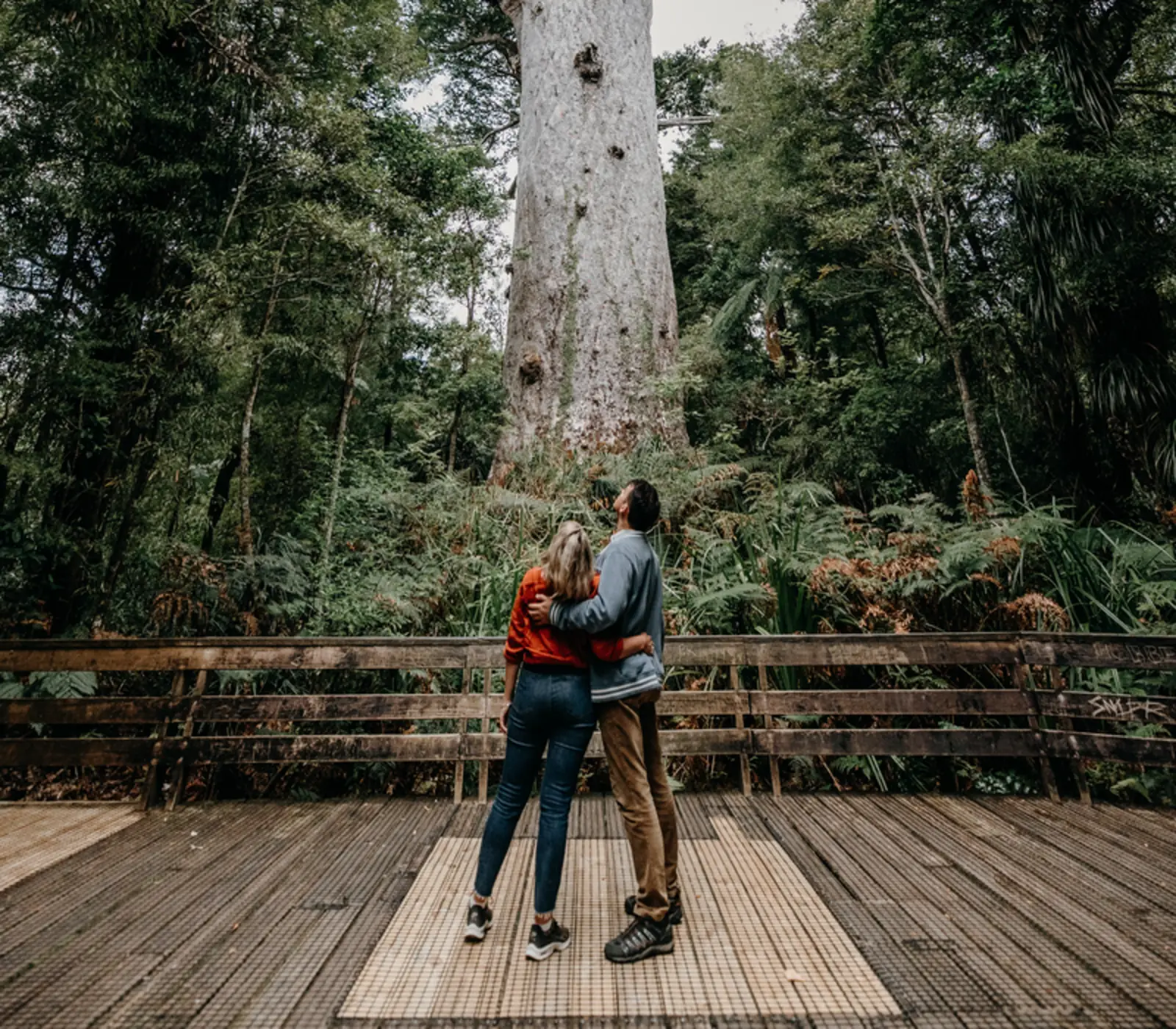
Tāne Mahuta is why most people stop, and about 200,000 a year do. The walk from the roadside car park is five minutes each way on a raised boardwalk, bridge and viewing platform that opened in December 2024, and it takes wheelchairs and buggies. The tree is named for Tāne, god of the forests and of birds. DOC's figures give it 17.68 m of clear trunk before the first branch and 244.5 m³ of wood in the trunk alone. Its age is an estimate, somewhere between 1,250 and 2,500 years. Road surveyors recorded it in January 1924. DOC currently lists the walk as open from 9 am to 3 pm daily, with the gate and toilets locked overnight.
Te Matua Ngahere, the Father of the Forest, is 4 km south by road at the Kauri Walks car park, then 20 minutes each way on foot. It is shorter than Tāne Mahuta at 29.9 m but wider, with a girth of 16.41 m, the greatest of any kauri in the country, and DOC calls it the older of the two, at more than 2,000 years. Nicholas Yakas, a bushman working on the road, came across it in 1928. It is also closed: DOC shut the walk from March to December 2026 to build new boardwalks in the second stage of the Rākau Rangatira work. The Four Sisters, four kauri growing close together from one mound, closed after the kauri dieback pathogen was found nearby and is due to reopen when the work is done. The Yakas Kauri track is closed as well. Check the DOC alerts before you plan on any of them.
When Te Matua Ngahere reopens, do both. Tāne Mahuta is the one on the postcards. The walk to Te Matua Ngahere is longer and quieter, and the tree, squat and enormously wide, looks every one of its years.
Kauri dieback, and why the boardwalks matter
Kauri dieback is caused by Phytophthora agathidicida, a soil-borne pathogen that infects kauri through the roots. There is no known cure. It spreads in soil carried on boots, animals, gear and vehicles, and it has been found within 60 m of Tāne Mahuta, which is why the old paths were replaced with raised boardwalks. The rules take two minutes: scrub and spray your footwear at the wash station on the way in, stay on the boardwalk, and keep off the ground around the trees, where the roots run close to the surface. If you have walked in another kauri forest on the trip, in the Waitākere Ranges near Auckland or at Puketi near the Bay of Islands, clean your boots properly that evening rather than leaving all the work to the wash station.
How to get to Waipoua Forest
State Highway 12 runs through the middle of the forest, and the Tāne Mahuta car park sits on the road itself, 65 km north of Dargaville and 18 km south of Ōmāpere on the Hokianga Harbour. The road through the forest opened in January 1928 and still drives like an old road: narrow, winding and shaded, with big trees close to the seal. Allow more time than the map suggests. There is no fuel, shop or supermarket in the forest, so fill up in Kaikohe or Dargaville.
| From | Distance | Driving time | Notes |
|---|---|---|---|
| Dargaville | 65 km | About 1 h | Nearest town to the south, with fuel and supermarkets |
| Ōmāpere, Hokianga | 18 km | About 20 min | Nearest village to the north, on the harbour |
| Paihia, Bay of Islands | 108 km | About 1 h 45 | Via Kaikohe and the Hokianga; the usual way in for our itineraries |
| Auckland | 235 km | About 3 h 15 | Via Brynderwyn and Dargaville on SH12 |
Our itineraries almost always go through rather than there and back. Driving south from Paihia to Auckland by way of the forest is about 340 km, against about 225 km straight down State Highway 1, so the west coast route adds roughly 115 km and an hour and a half to two hours at the wheel before you count the stops. If the trees matter to you, that is a good trade.
Drive through, or stay for the twilight walk
As a stop on a drive day, Waipoua works: an hour in the forest, lunch on the Hokianga or in Dargaville, and Auckland by evening. It is also five hours of driving before the stops, which is why some of our itineraries break it with a night here.
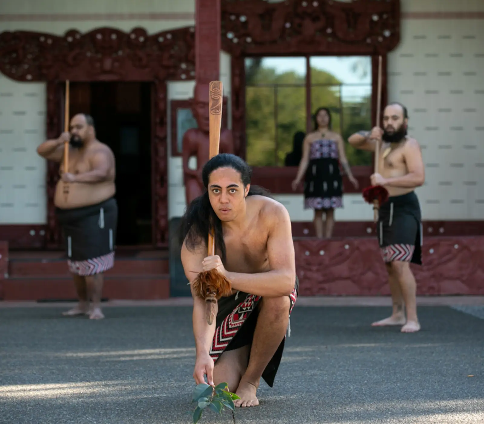
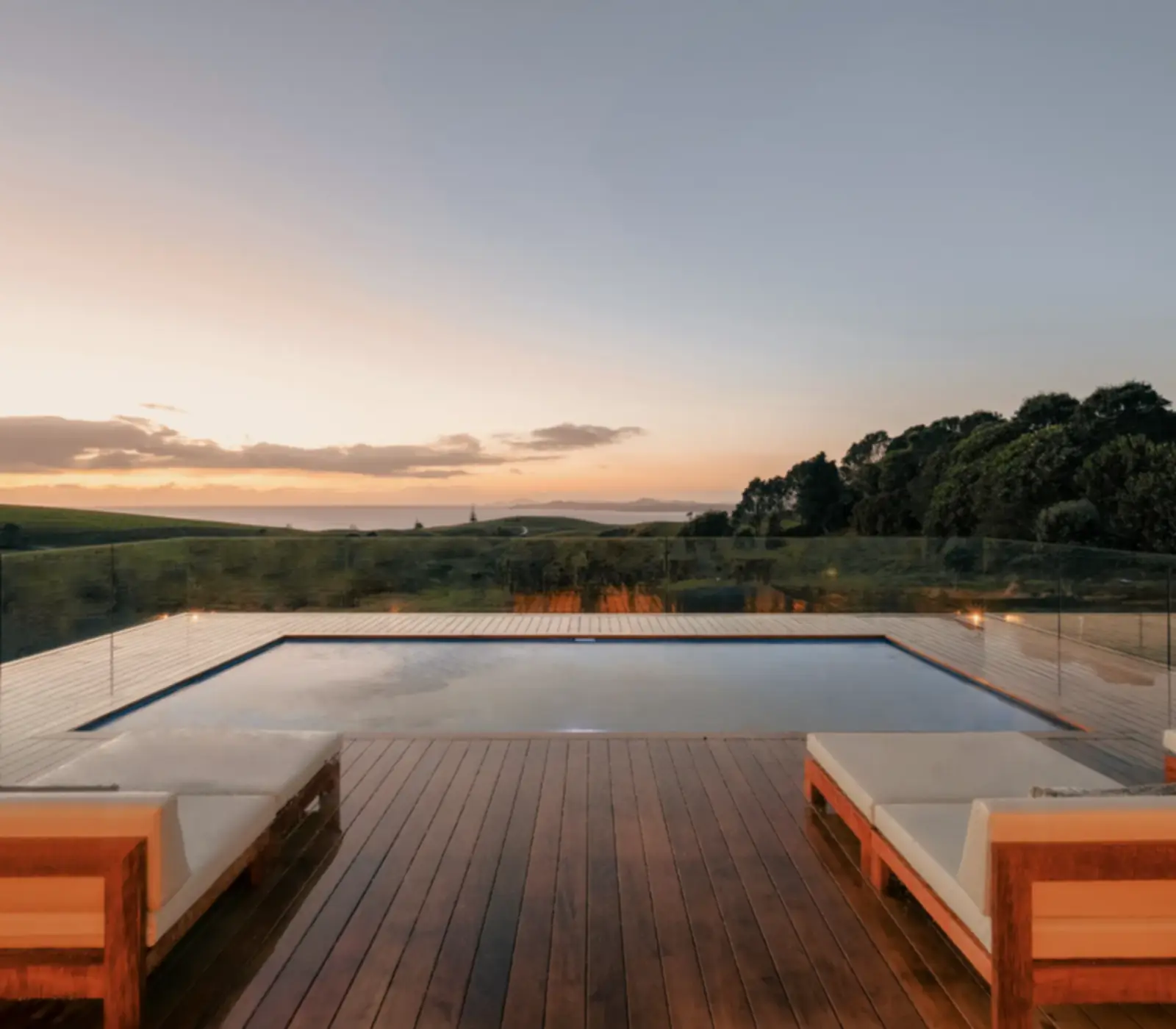
Waipoua Lodge takes 5 of them: a kauri homestead finished around 1918 just south of the forest, with four suites in the old stables, calf pen, woolshed and tack room. The reason to stay is the evening. 5 of our itineraries book the Twilight Encounter with Footprints Waipoua, a four-hour guided walk that leaves from Ōpononi, opens with a karakia and reaches the big trees as the light goes. The guides are Māori and the stories are theirs. It is the best way we know to see this forest, and with the gates locked at night, a guided walk is the only way in after dark. Exploring the Winterless North, a six-day self drive, includes that night.
The other beds nearby are simpler or further away: the Te Roroa campground on Waipoua River Road, mostly tent sites, and the places to stay around Ōmāpere and Ōpononi, 20 minutes north. For more on cultural tours like this one, see our guide to Māori culture for visitors.
When to go, and what the weather does
Waipoua is mild and damp rather than hot. The weather station at the Waipoua visitor centre records about 1,430 mm of rain a year, with June and July the wettest months. Average highs run from about 23°C in January and February to 15°C in July, when nights average 6°C. Summer is the busy season, above all in the school holidays from Christmas to the end of January, and it is wasp season too: DOC warns of high numbers from January to April, so keep sweet drinks covered. May and the spring months are quieter. Winter is wetter, but the forest is evergreen and the boardwalk means mud is no longer the problem it was. Check the MetService forecast for Dargaville before the drive.
The Hokianga, Trounson and the Kauri Museum
North of the forest the road drops to the Hokianga Harbour at Ōmāpere and Ōpononi, with tall sand dunes on the far side of the harbour mouth. Manea Footprints of Kupe, a cultural centre in Ōpononi that opened in December 2020, tells the story of the Polynesian navigator Kupe in a guided visit of about 75 minutes. It is on 1 of our itineraries.
South of the forest, 40 km north of Dargaville, Trounson Kauri Park is a 586 ha DOC reserve with a dense stand of kauri. It has been run as a mainland island, with intensive predator control, since 1995, and DOC says it has the highest density of North Island brown kiwi in Northland. Its loop track is DOC's suggested alternative while Te Matua Ngahere is closed. Beyond Dargaville on the road to Auckland, the Kauri Museum at Matakohe tells the story of the kauri timber and gum trades; it is a stop on 1 of our itineraries. Every itinerary that comes this way is on one list, and our Bay of Islands page covers the other end of the drive.
What the itineraries do in Waipoua Forest
35 of our itineraries reach Waipoua Forest and 6 sleep there: 6 for 1 night. Counted from the day by day of every tour, so the numbers move with the catalogue.
- Paihia, Bay of Islands to Auckland via Waipoua Forest on 19 itineraries
- Twilight Waipoua Encounter on 5 itineraries
- Waitangi Treaty Grounds Guided Tour and Cultural Performance on 2 itineraries
- Gourmet Four-Course Dinner at Waipoua Lodge on 1 itinerary
- Kauri Coast on 1 itinerary
- Manea Footprints of Kupe Guided Tour on 1 itinerary
- Matakohe Kauri Museum on 1 itinerary
Where they stay: Waipoua Lodge (5), Te Arai Links Suites (1). Every property is named on its tour page, with the room grade.
Most arrive from Russell (2), Kerikeri (1), Auckland (1) and carry on to Warkworth (2), Snells Beach (1), Russell (1).