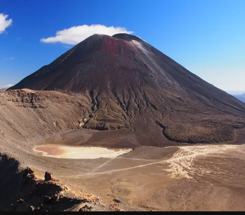
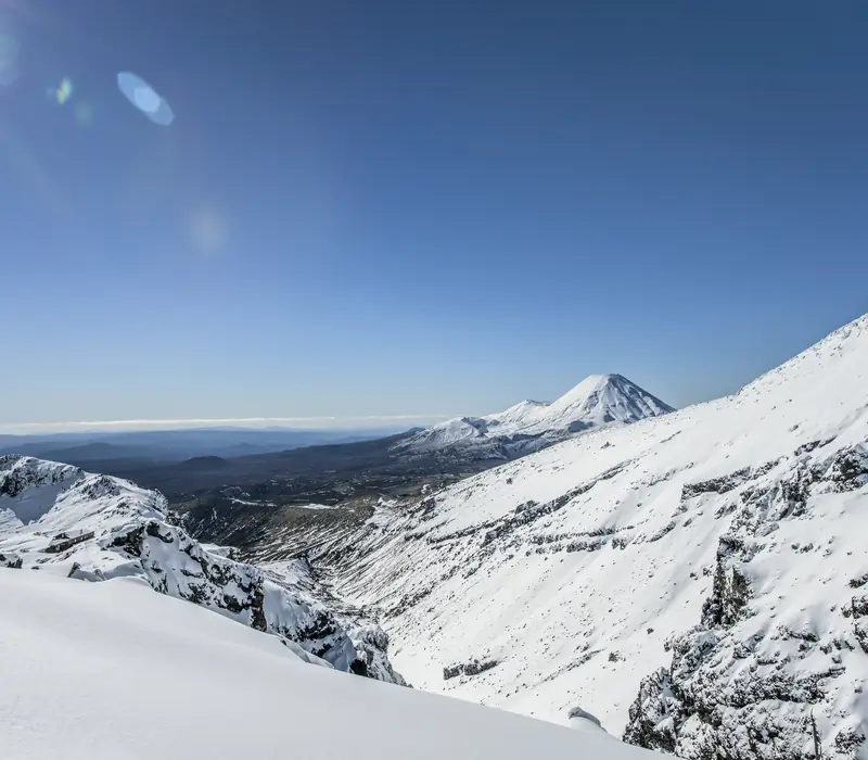
Tongariro National Park is 796 km² of volcanic country in the middle of the North Island, around three active volcanoes. Ruapehu, 2,797 m, is the highest point on the island and carries its two big ski fields. Ngauruhoe, 2,291 m, is the steep young cone that played Mount Doom. Tongariro, the lowest of the three, is a sprawl of craters and crater lakes, and it is what the Tongariro Alpine Crossing walks over. This was New Zealand's first national park, and the only village inside it is Whakapapa.
Of the itineraries we sell, 38 pass through the park and 24 stay at least a night, usually in Whakapapa Village or in Waimarino, which was called National Park until the end of 2024. In summer they come for the crossing, guided on 4 of them, or for the Sky Waka gondola, on 14. In winter they ski. The usual approach is from Rotorua or Waitomo, and 16 carry on south to Wellington.
- From Taupō
- 100 km, about 1 h 15
- From Rotorua
- 180 km, about 2 h to 2 h 30
- From Auckland
- 340 km, about 4 h 30 to 5 h
- From Wellington
- 330 km, about 4 h 30 to 5 h
- Nearest airports
- Taupō (TUO), about 1 h 15 by road, Rotorua (ROT), 2 h to 2 h 30 by road, Wellington (WLG) and Auckland (AKL), 4 h 30 to 5 h by road or on the Northern Explorer
Where it is, and why the summits are off limits
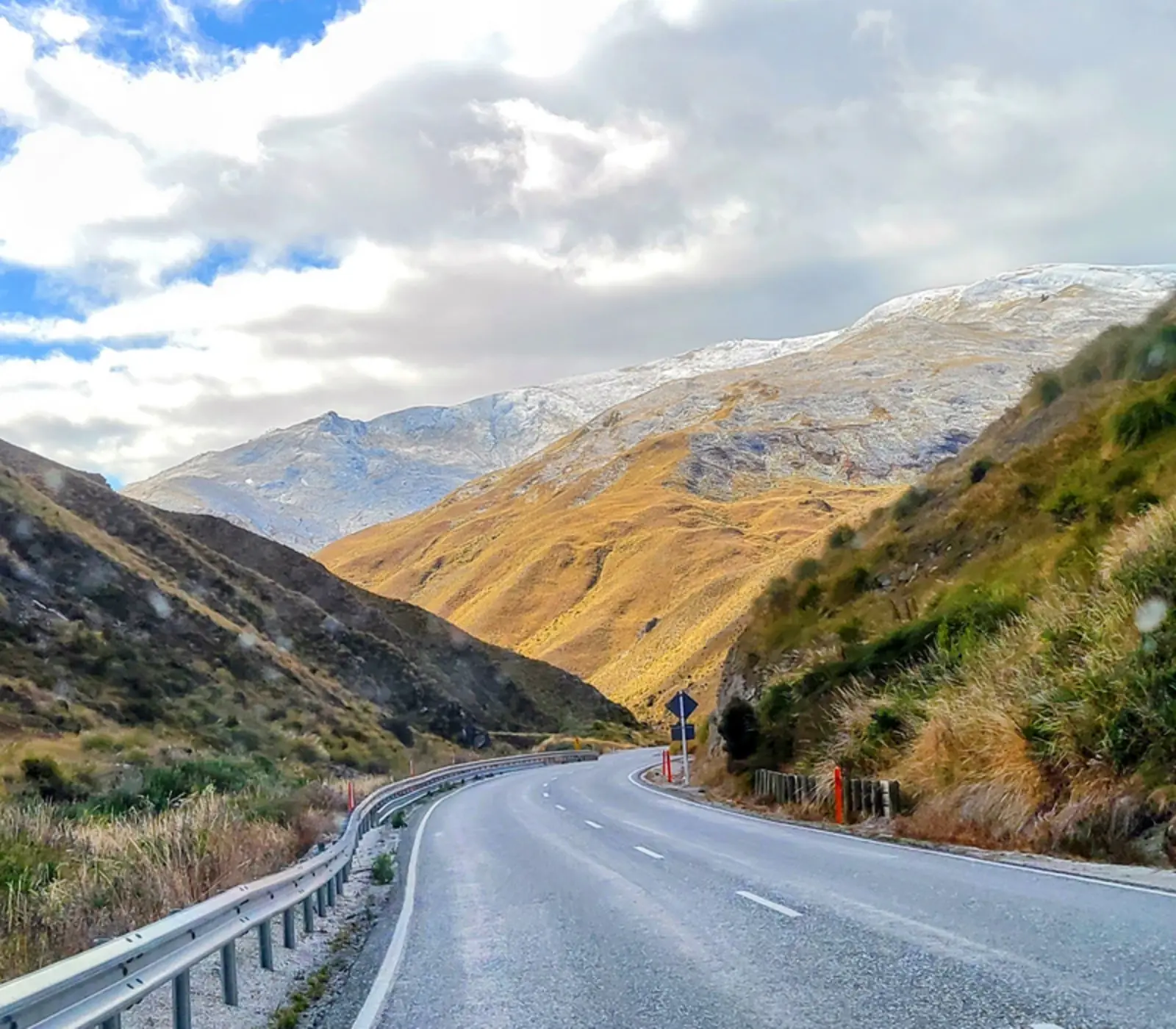
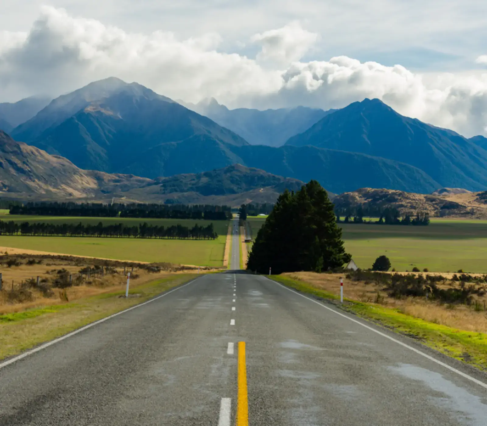
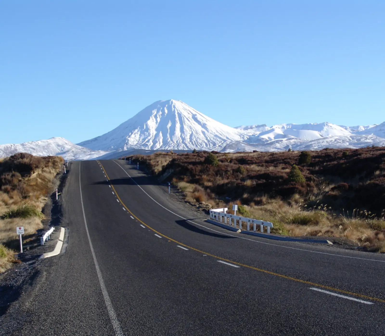
The park lies just south of Lake Taupō, roughly halfway between Auckland and Wellington. The Desert Road, State Highway 1, runs down its bare eastern side; State Highways 4, 47 and 48 run around the north and west. Ruapehu fills the southern half, with Tongariro and Ngauruhoe to the north. The lower slopes are beech forest and red tussock, the upper ones lava and scoria, under snow for half the year.
The summits were tapu, sacred, to Ngāti Tūwharetoa long before they were a park. In 1887 the paramount chief Te Heuheu Tūkino IV, Horonuku, conveyed the peaks to the Crown on condition that they be protected, and the Tongariro National Park Act followed in 1894. UNESCO listed the park for its volcanoes in 1990 and for its cultural values in 1993, the first national park recognised as a cultural landscape. Iwi ask visitors not to climb the summits, and DOC backs them.
Film fans know the place as Mordor. Ngauruhoe stood in for Mount Doom and the Whakapapa ski field for parts of Mordor; our Lord of the Rings locations guide covers what you can still recognise.
The Tongariro Alpine Crossing: how hard it is and how it works
The crossing is a one way walk over the Tongariro massif: 20.2 km by DOC's current measure, seven to eight hours in summer. From 1,120 m in the Mangatepopo valley a boardwalk climbs gently for the first hour or so. Then the Devil's Staircase gains about 350 m to the flat floor of South Crater, and a ridge leads up to Red Crater, the high point at 1,886 m, where the ground steams. Loose scoria drops steeply to the Emerald Lakes, Ngā Rotopounamu, then the track passes Blue Lake and zigzags down the northern slopes, Lake Taupō ahead, to Ketetahi Road at 760 m. Nothing is technical in summer. The length, the long descent and the weather are what make it hard.
- Book, then take a shuttle. The DOC booking is free and you need one for any shuttle or guided walk. In summer walkers cannot park at Mangatepopo and the road ends have a four hour limit, so nearly everyone is dropped at the start and collected at the end.
- At 6 am on summer days DOC checks the Red Crater forecast and, if wind, cold, rain or snow cross its limits, posts a "Not Recommended Today" advisory. Take it seriously.
- Carry two to three litres of water; nothing on the track is safe to drink. DOC does not recommend the walk for children under ten.
- From May to late October it is an alpine route over snow, ice and avalanche terrain: crampons, an ice axe and experience, or a guide.
On 4 of our itineraries Adrift guides the crossing, and 5 book a private guide, who handles the transport, the weather call and the pace. Our crossing guide goes through the day hour by hour.
Shorter walks, the gondola and the ski fields
You do not need a twenty kilometre day to see the park. Most of these start at Whakapapa Village, and walks around the village are written into 4 of our itineraries.
- Taranaki Falls: a 6 km loop from Whakapapa Village, about two hours, to a 20 m waterfall spilling off a lava flow that came out of Ruapehu 15,000 years ago. The best short walk in the park.
- Tama Lakes: on past the falls to the saddle between Ruapehu and Ngauruhoe, 17.6 km return and five to six hours. Less climbing and exposure than the crossing, and DOC's suggestion when the crossing is off.
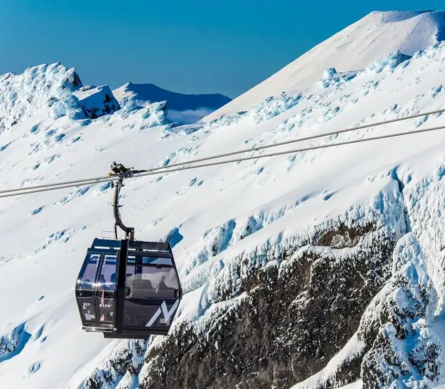
- Sky Waka gondola: 1.8 km from the top of the Bruce Road to Knoll Ridge Chalet at 2,020 m, the highest place to eat in the country. It runs in the ski season and from December to April, weather permitting, and is on 14 of our itineraries.
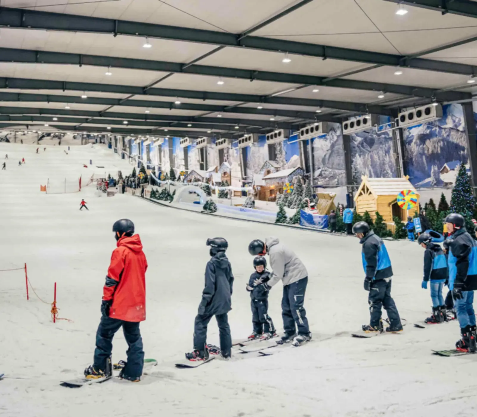
- Skiing: Whakapapa, above the village on Ruapehu's north western slopes, and Tūroa, above Ohakune on the south western side, are the North Island's two big ski fields, open roughly June to October, snow permitting. 4 of our itineraries ski Whakapapa and 4 Tūroa; our ski fields guide compares them with the South Island.
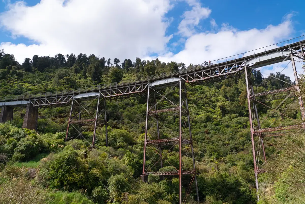
- Ohakune Old Coach Road: 15 km one way to Horopito through old rimu forest, 4 h 30 on foot or about 2 h 20 by bike, over the curved steel Hapuawhenua Viaduct. It was built in 1908, carried trains until 1987 and reopened for walkers and riders in 2009. A good day when the tops are in cloud.
How to get to Tongariro National Park
By road the park is a long morning from either end of the island and an easy run from Rotorua or Taupō. Whakapapa Village is on SH48, Waimarino is where SH4 meets SH47, and Ohakune is on SH49. These are DOC's figures to Whakapapa Village.
| From | Distance | Driving time | How our tours do it |
|---|---|---|---|
| Taupō | 100 km | About 1 h 15 | Biggest town nearby; crossing shuttles run from here |
| Tūrangi | 50 km | About 40 min | Closest town on the lake side |
| Rotorua | 180 km | 2 h to 2 h 30 | The usual way in: 7 itineraries |
| Auckland | 340 km | 4 h 30 to 5 h | Self drive, or the Northern Explorer to National Park |
| Wellington | 330 km | 4 h 30 to 5 h | 16 itineraries go on to Wellington |
The Northern Explorer train runs between Auckland and Wellington three days a week each way and stops at Ohakune and at National Park station, which kept its name when the village became Waimarino. Just north of the station the line climbs the Raurimu Spiral, a horseshoe, a full circle and two tunnels that lift it 139 m. 3 of our itineraries take the train. The nearest airport with scheduled flights is Taupō.
Two things catch drivers out. The Desert Road closes when snow and ice settle on it in winter, and NZTA's detour through Ohakune and Waimarino adds at least 40 minutes. And on the ski field roads you must carry chains in winter. Check the NZTA journey planner on the morning you drive.
Where to stay, and how many nights
Whakapapa Village is inside the park, 10 km from the start of the crossing, and small; Skotel Alpine Resort there is used by 7 of our itineraries. The grand Chateau Tongariro, opened in 1929, has been shut since February 2023 because of its earthquake risk. Waimarino, 13.5 km from the start, has more beds and the station: The Park Hotel Ruapehu takes 9 of our itineraries and Tongariro Crossing Lodge 3.
Ohakune, 48 km away on the south side, is the Tūroa ski town. Tūrangi, 37 km, is at the south end of Lake Taupō on the Tongariro River, which trout anglers travel a long way for. Taupō has the most rooms but is 86.5 km from the start, so the shuttle leaves before dawn.
Our itineraries stay one night (8 of them), two (12) or three (4). One is enough for the gondola and a short walk. For the crossing, stay two. The tours that stop here are listed together.
Is it still active? Eruptions, lahars and the 2025 fires
Yes, all three volcanoes are active, and GeoNet watches them around the clock. Ruapehu last erupted on 25 September 2007, but its crater lake is the danger people forget: on Christmas Eve 1953 the debris dam holding it back gave way, a lahar tore out a pier of the rail bridge at Tangiwai minutes before the Wellington to Auckland express arrived, and 151 people died. Tongariro's Te Maari craters erupted on 6 August 2012, for the first time since 1899, throwing blocks of rock through the roof of Ketetahi Hut 1.5 km away, and again on 21 November. Ngauruhoe last erupted in 1977. DOC is plain about it: an eruption on any given day is unlikely, but possible.
The newer scar is fire. On 8 November 2025 sparks from a vehicle that had lost a wheel on SH47 set the roadside alight, and about 2,935 hectares burned around the start of the crossing and towards Whakapapa; a December fire burned about 300 more. The tracks reopened on 10 December 2025. Ngāti Hikairo ki Tongariro has placed a ten year rāhui over the burnt land, which means staying on the tracks, and the first part of the crossing is black with green coming through.
The fire also shortened the Tongariro Northern Circuit, the Great Walk that shares its best day with the crossing. For 2026/27, from 23 October to 30 April, it is a 35.5 km one way walk rather than a 44.9 km circuit, because the Whakapapa to Mangatepopo Hut section stays closed.
Weather, and the best time to go
Whakapapa Village, at about 1,100 m, averages 18 °C by day in January and February and 7 °C in July, when nights fall below freezing, and gets about 2,200 mm of rain a year. Red Crater is colder again: DOC reckons at least 10 °C colder than Taupō on a calm day, and 2 °C colder for every 10 km/h of wind. Snow can fall in any month.
The summer track season runs from Labour Weekend in late October to 30 April. Our pick is February and March: the snow has gone, the school holidays are over, and the days are still long. December and January, the summer holidays, are the most crowded. Check the MetService Tongariro forecast the evening before and DOC's advisory at 6 am.
What the itineraries do in Tongariro National Park
38 of our itineraries reach Tongariro National Park and 24 sleep there: 8 for 1 night, 12 for 2 nights, 4 for 3 nights. Counted from the day by day of every tour, so the numbers move with the catalogue.
- Sky Waka Gondola Sightseeing Trip with Whakapapa on 14 itineraries
- Private Guided Tongariro Alpine Crossing with Adrift on 5 itineraries
- 1 Day Tongariro Guided Crossing with Adrift on 4 itineraries
- Turoa Ski Field on 4 itineraries
- Walking tracks in and around Whakapapa Village, Tongariro National Park on 4 itineraries
- Whakapapa Ski Field on 4 itineraries
- Discover Ohakune, Ruapheu or Tongariro National Park on 3 itineraries
- Tongariro National Park to Wellington on the Northern Explorer Train on 3 itineraries
Where they stay: The Park Hotel Ruapehu (9), Skotel Alpine Resort (7), Tongariro Crossing Lodge (3), Kokomea PurePod (1), Nightsky Cottage (1). Every property is named on its tour page, with the room grade.
Most arrive from Rotorua (7), Waitomo Caves (5), Auckland (4) and carry on to Wellington (16), Auckland (2), Waitomo Caves (2).